Alaska Klondike Mining District map c.1896-9 rare map with Dawson distances key
Brian DiMambro- Antiquarian Books, Maps & Prints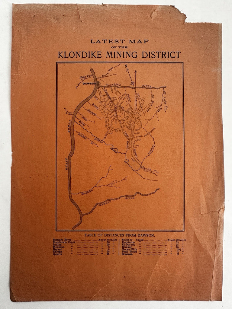
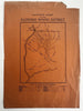
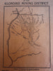
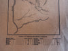
Latest Map of the Klondike Mining District.
Issued c.1896-9 for unknown source, (but possibly W.B. Conkly Co., Chicago).
Below the map is a two column Table showing distances from Dawson, Alaska.
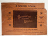
A rare cartographic curiosity, among a handful connecting the gold rush klondike region with advertising. Sheet with related Klondike scenic view book advertisement on reverse, unclear if the two are related to this publisher.
Fair condition, several edge tears closed with archival tape, small chip to top corner, some light fading or discoloration, slight wrinkle in spots.
Rare gold rush map in any condition.
Sheet measures c. 10 1/2" x 7 3/8".
Printed area c. 6" x 4 1/2".
B15741