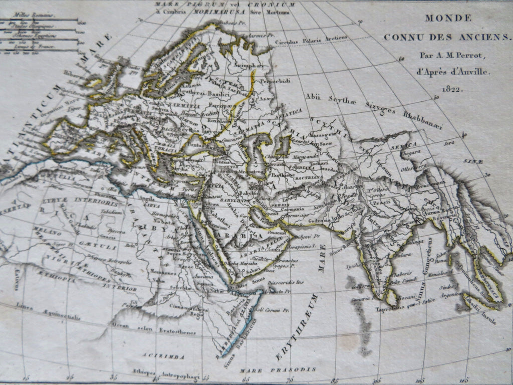
Ancient World Europe Africa Middle East India 1822 D'Anville historical map
Brian DiMambro


Monde Connu Des Anciens.
(Old Maps, 19th Century Maps, Ancient World, Historical Maps, Europe, North Africa, Holy Land, Arabia, India).
Issued 1822, Paris by D'Anville. Map by Perrot.
Early 19th century engraved historical miniature map with original outline hand color.
Note the apocryphal chains of mountains across the interior of central Africa.
Nice looking example, pleasing age patina, any minor age flaws easy to overlook or forgive.
Sheet measures c. 5 1/2" H x 7" W.
Engraved area measures c. 4 1/2" H x 6" W.
Cartographic Reference(s):.
Tooley's Dictionary of Mapmakers, vol.1.
[R32722].
