Asia Qing China Japan Korean island Company's Land outline 1815 Lattre map
Brian DiMambro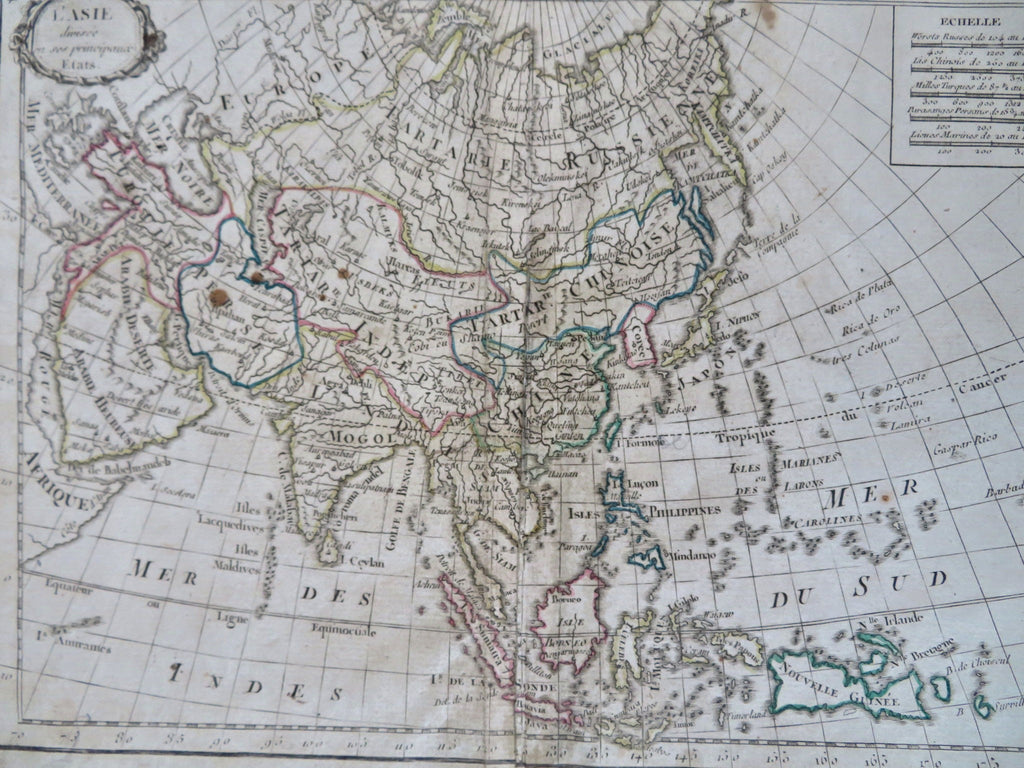

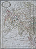

L'Asie Divisee en Ses Principaux Etats.
(Old Maps, 19th Century Maps, Asia, Ottoman Empire, Arabian Peninsula, Persia, Iran, Mughal Empire, British Raj, Qing Empire, China, Southeast Asia, Korea, Japan, Russian Empire, The Philippines, New Guinea).
Issued c. 1815, Paris by Lattre.
Above the Japanese islands is the apocryphal partial outline shape of Company's Land. Korea is shown with a clear river in the north, which means it is an island.
Interesting and uncommon early 19th century antique engraved map with original outline hand color.
Some overall age soiling and small staining, centerfold partially affixed to original backing inset tab to close a split, the right hand Table text leaf was separately printed and affixed by the publisher long ago (as issued)- overall still a nice looking example with pleasing age patina.
Original center fold.
Sheet Measures c. 8 3/8" H x 11 1/2" W.
Engraved Area Measures c. 7 3/8" H x 10" W.
Cartographic Reference(s):
Tooley's Dictionary of Mapmakers, vol. 3.
[R34133].