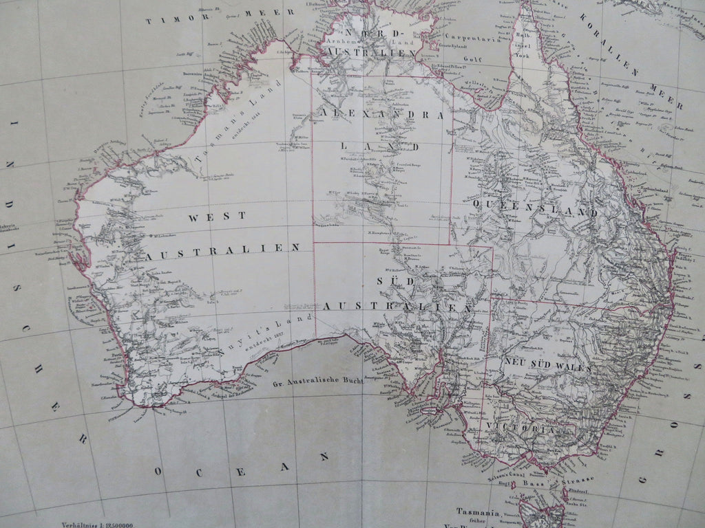
Australia Exploration Routes Tasmania New South Wales Victoria 1874 Flemming map
Brian DiMambro


Australland.
(Old Maps, 19th Century Maps, Oceania, Australia, New South Wales, West Australia, Queensland, Victoria, Tasmania, Exploration Routes).
Issued 1874, Glogau, Germany by Flemming.
Uncommon, well detailed and interesting 19th century antique color lithographed map. An assortment of early explorers names, routes and dates are shown across the interior in a manner unique to this cartographer and map.
Sheet remains clean, fresh and well preserved. Fine patina and visual appeal.
Original fold line as issued.
Sheet measures c. 15 1/2" x 18 1/2".
Printed area measures c. 13" x 16".
Espenhorst, Bibliographisches Hanbuch- Andree, Stieler, Meyer & Co., p. 206-35.
Tooley's Dictionary of Mapmakers, vol. 2, p. 79.
[R35657].
