Balkans Turkey in Europe Hungary Tartary c.1790 Conder decorative hand color map
Brian DiMambro- Antiquarian Books, Maps & Prints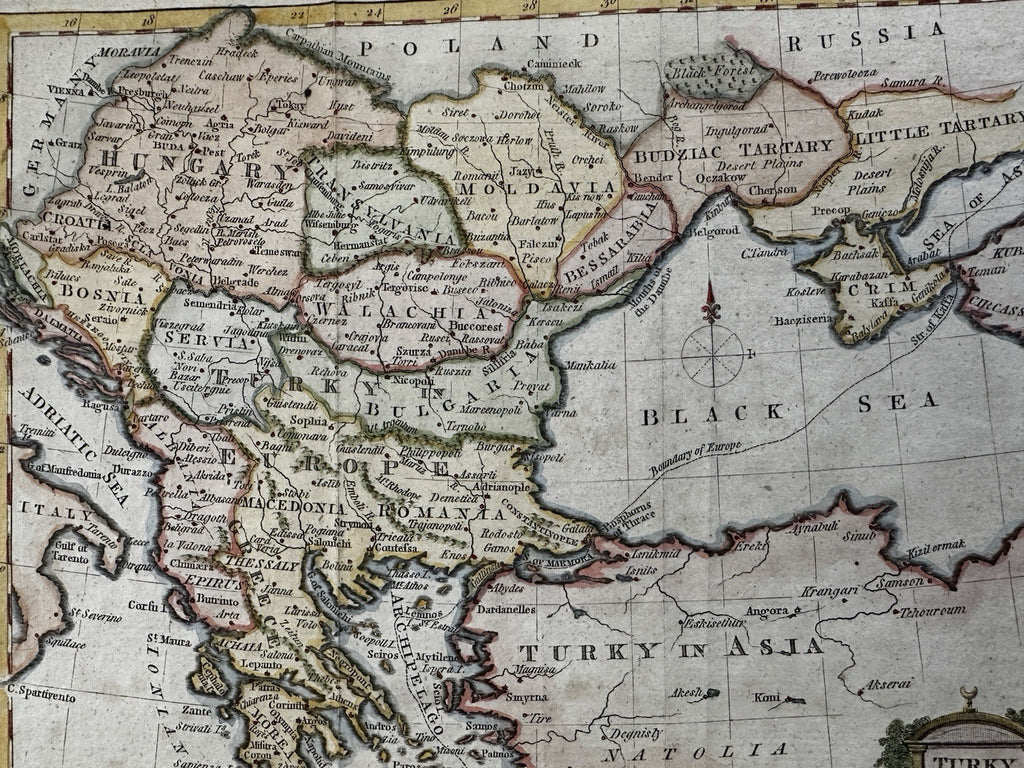
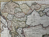
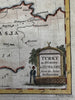
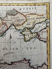
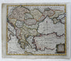
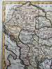
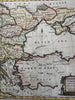
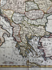
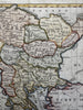
Turky in Europe & Hungary from the latest authorities.
Issued c.1780-90’s, London. Engraved by T. Conder.
A visually superior example, clean, lovely hand coloring, overall map displays a pleasing age patina.
Original fold lines as issued. Distance scale given in British miles, Longitude from London.
Sheet size c. 8 3/8" H x 10 1/8" W.
Engraved area c.7 5/8" H x 8 7/8" W.
Pictures show this uncommon decorative little 18th century map well. Please review them carefully at your leisure so you may clearly see what you are buying.
B15796