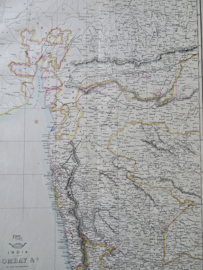
British India Bombay Mysore Protectorates West India Rajputana 1850's Weller map
Brian DiMambro


India - Bombay &c.
(Old Maps, 19th Century Maps, Asia, British India, Western India, Bombay, Mysore).
Issued c. 1850's, London by Day & Son for the London Dispatch. Engraved by Edw. Weller.
Late 19th century lithographed with original outline hand color. The color key noted below the title identifies British and Portuguese territories.
Various soft old fold lines, couple very small minor scattered age spots, map presents well visually and remains nice looking.
Sheet Measures c. 18 3/4" H x 13" W.
Printed Area Measures c. 17" H x 12" W.
Cartographic Reference(s):
Tooley's Dictionary of Mapmakers, vol. 2.
[R32503].
