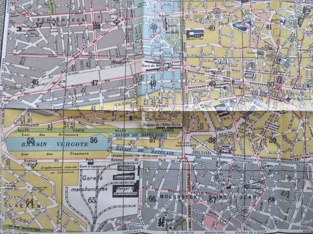
Brussels Belgium Bruxelles c. 1920 de Lange large folding city plan map
Brian DiMambro


Petit Plan de Bruxelles & Faubourgs.
(Old Maps, 20th Century Maps, Travel, Tourism, Europe, Low Countries, Belgium, Brussels, City Plan).
Issued c. 1915-20's, Antwerp by A. de Lange. Color lithographed.
Detailed vintage early 20th-century European city plan. Folding pocket format style. Extensive street index list at either side.
Paper and image remains clean and well preserved with a fine patina. Some minor splitting at fold line intersections or ends but overall well-preserved with a nice visual appeal.
Original fold lines as issued in a folding pocket map format.
Sheet measures c. 17 3/4"H x 27 3/8"W.
Printed area measures c. 15 3/4"H x 17 1/2"W.
Tooley's Dictionary of Mapmakers, vol. 2.
[B14017].
