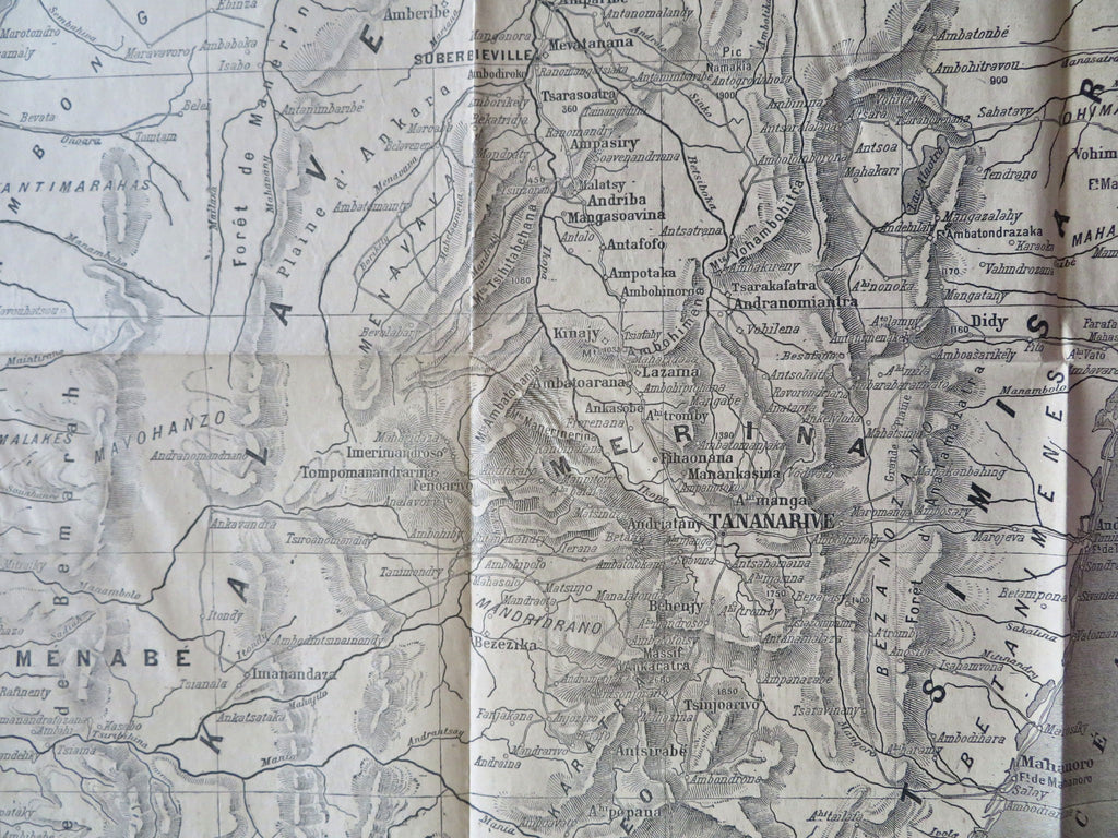
Central Madagascar Franc-Hova Wars Tananarive c. 1890 French military map
Brian DiMambro


Partie Central de Madagascar pour Suivre les Operations Militaires.
(Old Maps, 19th Century Maps, Africa, Madagascar, Central Madagascar, Franco-Hova Wars, Tananarive).
Issued c. 1890, France by A. Levy (designed/ drawn), wood engraved by Vignerol as a Supplement to the newspaper "Petit Parisien". Very scarce/ rare thus.
Late 19th century lithographed map which only appeared as a supplement within this ephemeral French newspaper. Text on revers, a double page folio sheet.
If you collect maps of Madagascar there is a very strong chance you do not own this map.
Sheet Measures c. 18" H x 24" W.
Engraved Area Measures c. 15" H x 20" W.
[B12204].
