Connecticut state early RR lines 1850-5 Cowperthwait beautiful old color map
Brian DiMambro- Antiquarian Books, Maps & Prints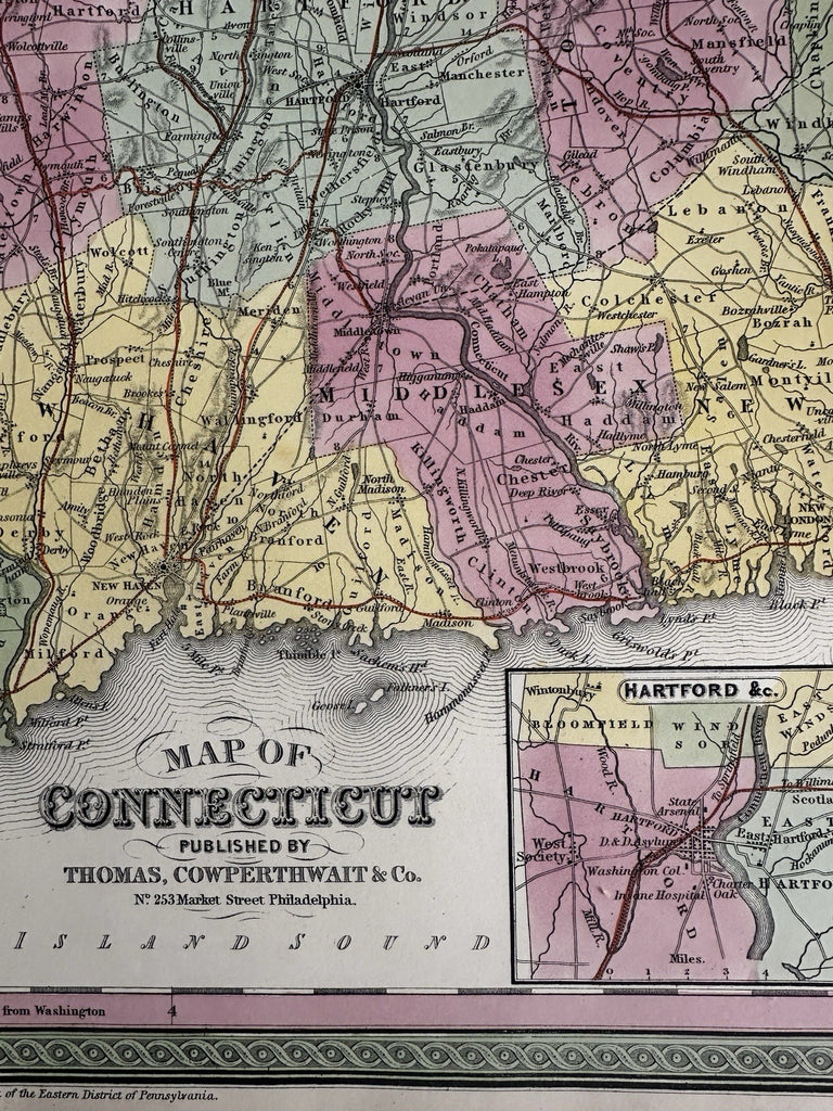
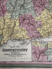
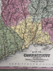
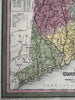
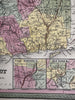
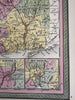
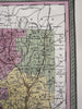
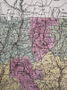
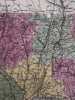

Map of Connecticut.
Published 1850-55, Phila. by Thomas, Cowperthwait & Co.
Beautiful mid- 19th century (engraved) lithographed map with original hand color.
Insets lower right show Hartford environs as well as New Haven, both with tiny early urban plans.
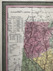
Statistical table top left showing the population by county both in 1850 as well as growth historically by decade roughly.
Lovely folio sheet map, perfect for display, gift giving, being part of a collection.
Clean, fresh, near fine condition.
Sheet measures c. 16 7/8” x 13 1/2”.
Printed area c. 14 7/8" x 12 3/8".
R36411