Eastern Russian Empire Siberia Kamchatka 1850 Cowperthwait Mitchell map
Brian DiMambro- Antiquarian Books, Maps & Prints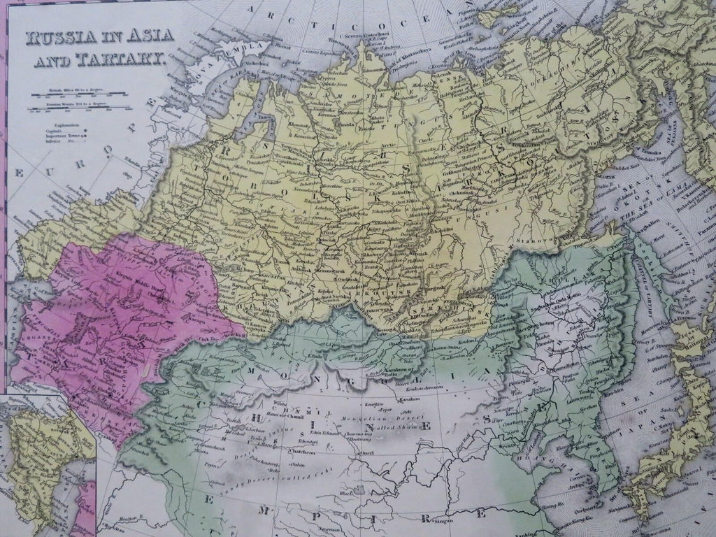
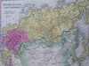
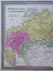
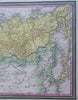
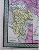
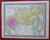
Russia in Asia and Tartary.
(Old Maps, 19th Century Maps, Asia, Russian Empire, Siberia, Kamchatka, Tartary, Mongolia, Manchuria, Japan).
Issued 1850, Philadelphia by Coweperthwait for S.A. Mitchell.
Lovely 19th century engraved and lithographed map with original hand color. Mitchell maps of this mid-century era were issued with a range of color as well as variant decorative borders.
Nice looking example, clean and fresh, pleasing age patina, any small age spots or minor age flaws easy to overlook or forgive.
Sheet Measures c. 12 1/2" H x 15 1/4" W.
Engraved Area Measures c. 10 1/2" H x 13 1/2" W.
Cartographic Reference(s):
Reps, American Maps and Mapmakers, p. 313.
Tooley's Dictionary of Mapmakers, vol. 4, pp. 260.
[R30482].