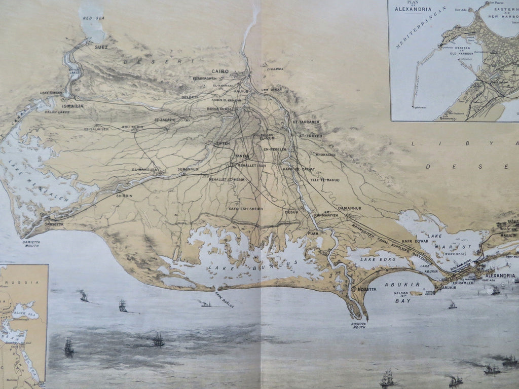
Egypt Nile Delta Cairo Alexandra Port Said Ismailia Suez 1882 Bird's Eye View
Brian DiMambro


Birdseye View of Egypt.
(Old Maps, 19th Century Maps, Africa, Egypt, Nile Delta, Cairo, Alexandria, Port Said, Ismailia, Suez).
Issued 1882, Aug. 12, London by Graphic Newspaper (as a supplement- blank on verso, using lithographic paper). Lithographed by Maclure & Macdonald.
Scarce late 19th century color lithographed birds-eye view of the coastline of Egypt, seen in prospect from the north looking southward. Numerous ships ply the seas, the detailed port inset top right shows the basic street grid and locates specific buildings.
Includes inset maps of a "Plan of Alexandria" and the vicinity of Europe and northern Africa.
Original centerfold as issued, side blank margins shaved away, presumably as issued or trimmed by an early binder.
Scarce printed image by virtue of the ephemeral source.
Original center fold as issued.
Sheet Measures c. 15 3/4" H x 22 5/8" W.
Printed Area Measures c. 14 1/4" H x 22 5/8" W.
[R35669].
