Florida state Pensacola St. Augustine Tallahassee 1855 Cowperthwait lovely map
Brian DiMambro- Antiquarian Books, Maps & Prints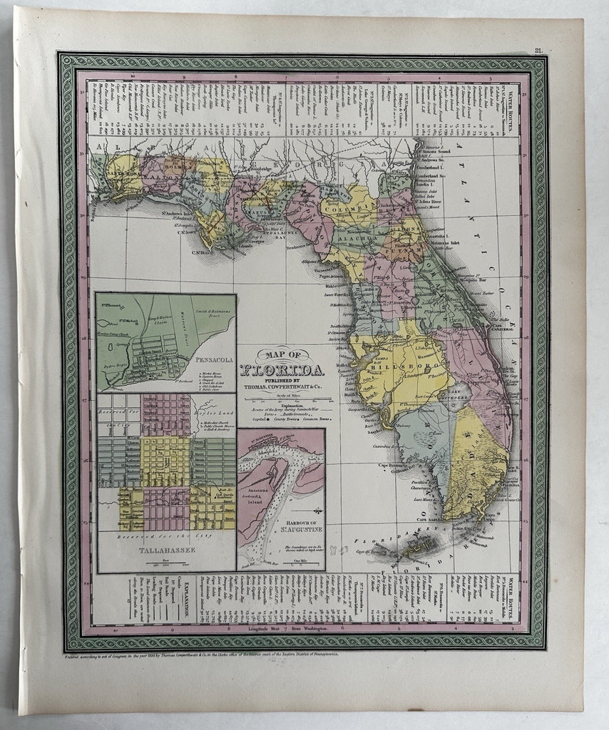
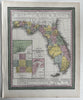
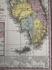

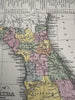
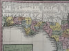
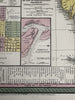
Map of Florida.
Published 1850-55, Phila. by Thomas, Cowperthwait & Co. (This variant issue likely being 1854-5 despite the imprint at bottom stating 1850). There are several variants of this map which all display the same 1850 imprint but were released across years within atlases having later title page dates.
Beautiful mid- 19th century (engraved) lithographed map with original hand color.
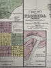
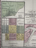
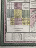
Great early map of the state with three large early city plans of Pensacola, Tallahassee and the harbour of St. Augustine. A key of water route distances runs across the top and bottom. A great and seminal map for collecting as there exist variant issues with different county configurations which almost always go unmentioned or undistinguished. A keen eye could pick them out.
Lovely folio sheet map, perfect for display, gift giving, being part of a collection, etc.
Clean, fresh, near fine condition.
Sheet measures c. 16 7/8” x 13 1/2”.
Printed area c. 14 1/2" x 11 3/4".
R36417