Isles of Shoals New Hampshire 1890's HC nautical map Maine Smuttynose Island
Brian DiMambro- Antiquarian Books, Maps & Prints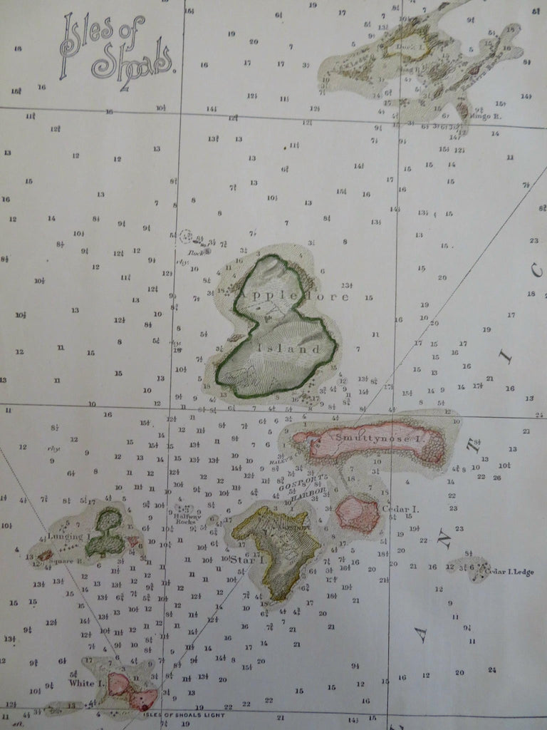

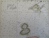
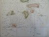
Isles of Shoals.
(Old Maps, 19th Century Maps, Americana, North America, United States, New England, Isles of Shoals, Smuttynose Island, Appledore Island, Star Island).
Issued c. 1890s, United States.
Likely late 19th century (possibly early 1900's?) coastal survey map with attractive hand color. Text on reverse as issued.
Clean, well preserved example.
Sheet Measures c. 10" H x 6 1/2" W.
Printed Area Measures c. 9" H x 6" W.
[B15810].