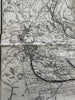
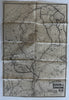
Maine Hunting & Fishing region map c.1910 Bangor & Aroostook RR large map
Brian DiMambro- Antiquarian Books, Maps & Prints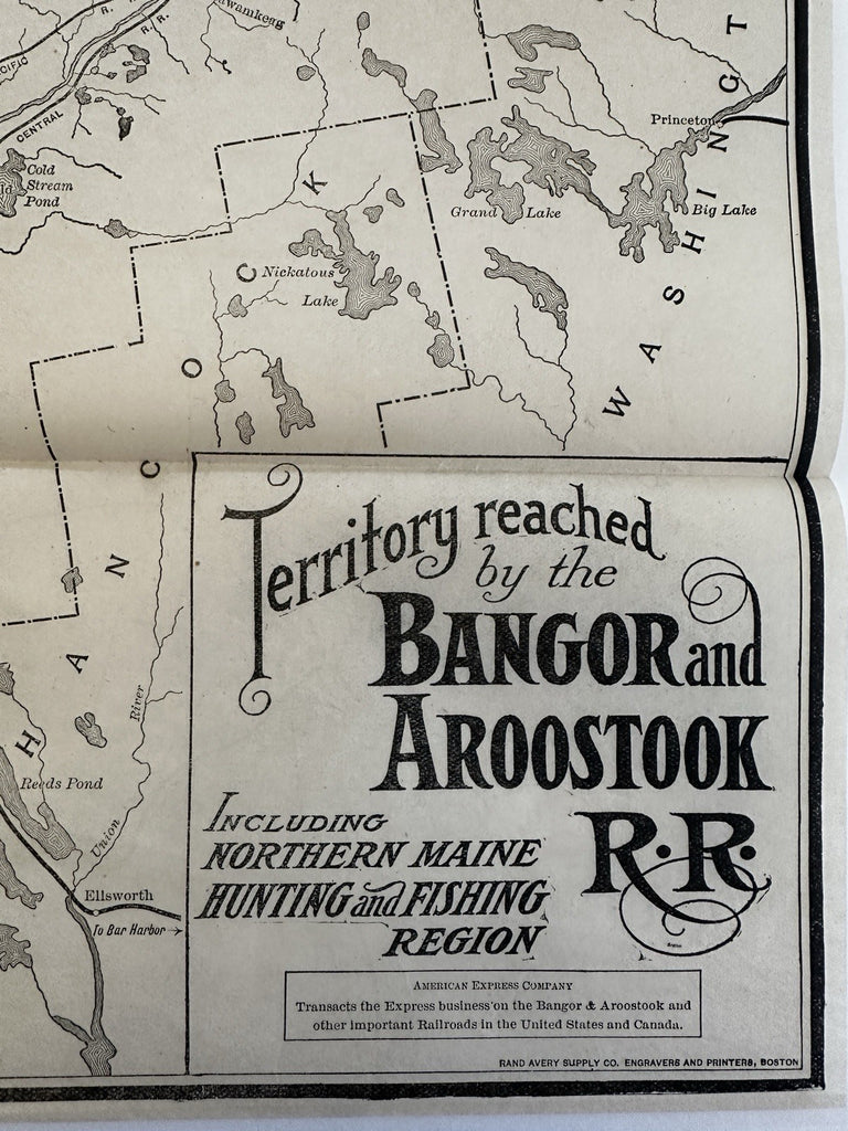
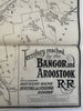
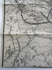


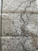
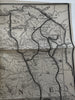
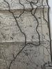
Territory Reached by the Bangor and Aroostock RR. (Maine state).
Issued c. 1910, Boston by Rand, Avery for B & A RR line.
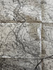
Large folding RR line map printed on bond paper.
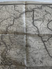
Overall clean, thin bit of cello tape along top left edge blank margin.
Some small thin spots of loss along a couple fold lines and a couple small worm holes which have been backed with matching paper and are barely visible when viewing map.
Please examine all the pics carefully.
Original fold lines as issued, some extraneous creases across middle.
Map still looks great, readily displayable.
Sheet measures c.22" H x 15" W.
B15670