Maine state early RR lines canals 1850-5 Cowperthwait hand colored map
Brian DiMambro- Antiquarian Books, Maps & Prints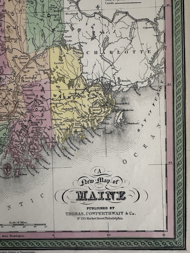


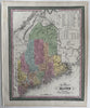
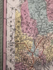


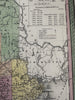
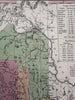


A New Map of Maine.
Published 1850-55, Phila. by Thomas, Cowperthwait & Co. (This variant issue likely being 1854-5 despite the imprint at bottom stating 1850).
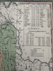
At top right is a comparative population key showing by county and decades from mid 1700's.
Beautiful mid- 19th century (engraved) lithographed map with original hand color.
Lovely folio sheet map, perfect for display, gift giving, being part of a collection, etc.
Clean, fresh, near fine condition.
Sheet measures c. 16 7/8” x 13 1/2”.
Printed area c.15" x 12".
R36412