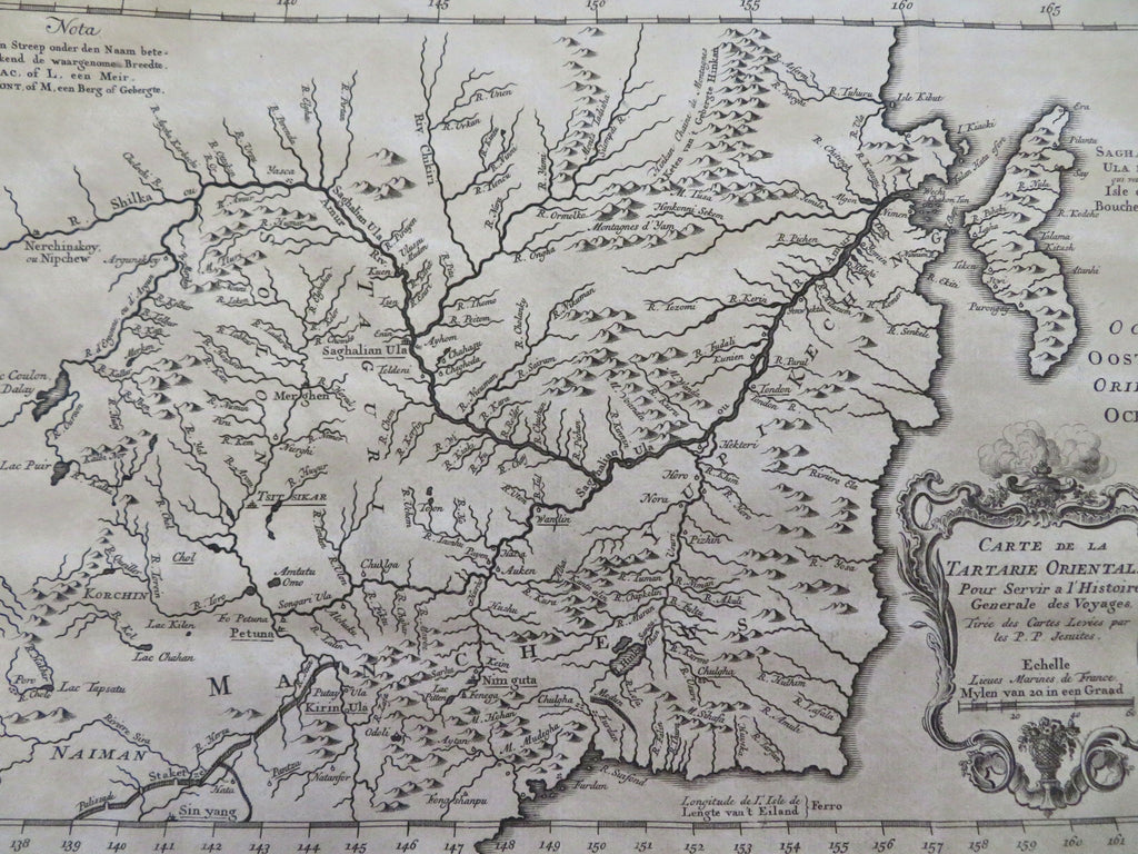
Manchuria Tartary Qing China Black Mouth Island 1749 de Hondt Bellin map
Brian DiMambro


Kaart van Oost-Tartarye, gelyk die geligt is door do Jezuiten, Ao. 1709-10-en 11. Op de Engelsche in dit Bestek gebragt.
(Old Maps, 198th Century Maps, Asia, Qing Empire, China, Manchuria, Tartary, Black Mouth Island).
Issued 1749, the Hague, by de Hondt. Cartography by Bellin.
Fine antique mid-18th century engraved map. Decorative title cartouche in French, Dutch
Original fold lines as issued.
Sheet measures c. 9 3/4"H x 14 7/8"W.
Printed area measures c. 8 1/2"H x 12"W.
[R35746].
Tooley's Dictionary of Mapmakers , vol. 2, p. 366.
