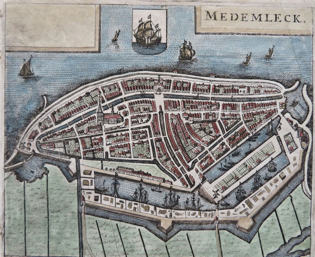
Medemblik West Holland Frisia Netherlands 1669 Parival antique map city plan
Brian DiMambro


Medemleck.
(Old Maps, 17th Century Maps, Europe, Low Countries, Netherlands, West Holland, Medemblik, City Plan, Fortifications, Sailing Ships)
Issued Amsterdam, 1669 by Parival.
Charming little antique engraved map with attractive hand color.
Stunning level of detail, including docks with ships, countless buildings, garden plots, etc.
Overall the image is clean, well preserved and very attractive, right blank margin slightly extended with old paper to facilitate framing, couple minor tiny holes along left margin backed with paper.
Sheet measures c. 5 3/4" x 4 3/4"
Engraved area measures c. 5 1/2" x 4 1/2"
[B13699].
