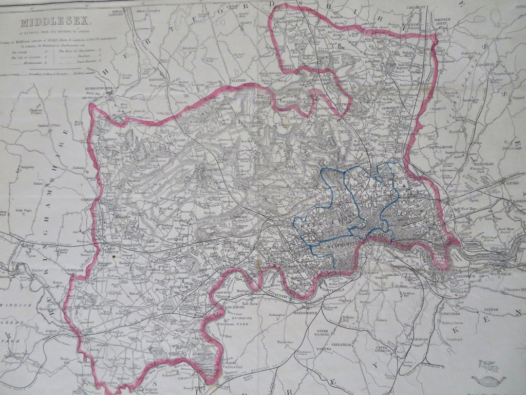
Middlesex England London Westminster Greenwich Enfield 1850's Well County Map
Brian DiMambro


Middlesex.
(Old Maps, 19th Century Maps, Europe, United Kingdom, England, Middlesex, London, Greenwich, Battersea, Westminster, Enfield, ).
Issued 1850's, London for the Dispatch by Edward Weller. Drawn & engraved by B.R. Davies.
Mid 19th century lithographed English county map with original outline hand color.
Various soft old fold lines, a couple small age spots, map presents well visually and still looks nice.
Sheet Measures c. 18" H x 13" W.
Printed Area Measures c. 17" H x 12" W.
Cartographic Reference(s):
Tooley's Dictionary of Mapmakers, vol. 4.
[R32512].
