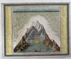
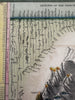
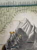
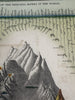
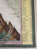
Mountain Height & River Length Comparison 1850 Cowperthwait hand colored diagram
Brian DiMambro- Antiquarian Books, Maps & Prints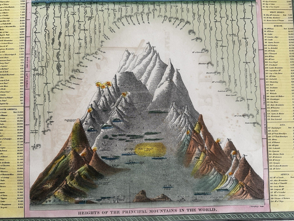

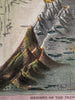
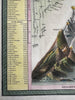
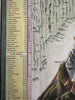
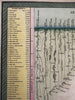
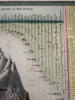
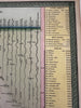
Lengths of the Principal rivers in the world.
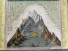
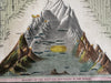
Heights of the principal mountains in the world.
Published 1850-55, Phila. by Thomas, Cowperthwait & Co. (This variant issue likely being 1854-5 despite the imprint at bottom stating 1850).
Beautiful mid- 19th century (engraved) lithographed map with original hand color.
Down both sides are 150 specific mountains and rivers listed by continent.
Lovely folio sheet map, perfect for display, gift giving, being part of a collection, etc.
VG to VG+ condition, light offsetting and toning, map displays beautifully.
Sheet measures c. 16 7/8” x 13 1/2”.
Printed area c. 15 7/8”x 12 7/8”.
R36410