New Discoveries Australia New Holland undefined coastline 1798 Dilly rare map
Brian DiMambro- Antiquarian Books, Maps & Prints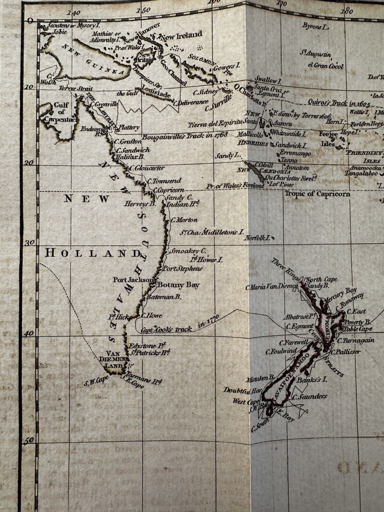
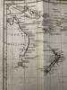
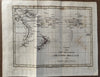
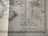
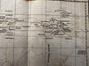
Chart of the New Discoveries east of New Holland and New Guinea. (Australia, Australasia, Pacific Ocean islands, New Zealand).
Issued 1798, London by C. Dilly. Engraved by J. Russell.
Early copper engraved map with original outline hand coloring (note the green verdigris lines showing on reverse of map which confirm paint age).
Scarce map which captures Australia with an undefined southern coastline and Van Diemens island connected to the continent. Tracks of capt Cook in 1769 & 1770 labeled, showing a detailed emphasis on his circumnavigation of New Zealand and then north to the Society Islands. A supposed island “said to be discovered by the Spaniards 1773” noted along the right edge middle.
Overall clean surface, light to moderate offsetting which is easy to overlook.
Overall, remains a nice looking example with pleasant age patina.
Sheet size c.8 1/8” x 5”.
Pictures show this nice map well. Please review them carefully at your leisure so you may clearly see what you are buying.
B15019