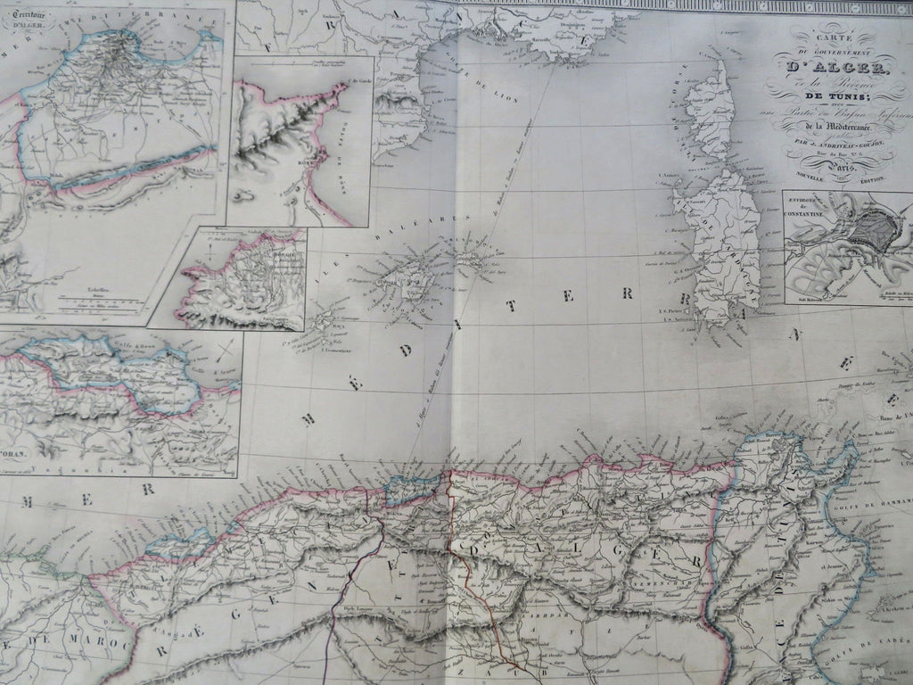
North Africa Algeria Tunisia Tunis Constantine Algiers 1837 folio hand color map
Brian DiMambro


Carte du Couvernement D'Alger, Ou la Regence de Tunis; une Partie out Bassin Intereiur de la Mediterranee public.
(Old Maps, 19th Century Maps, Africa, North Africa, Algeria, Tunis, Algiers, Constantine)
Issued Paris, 1837 by J. Andriveau-Goujon.
Beautifully engraved, very detailed and extremely uncommon mid 19th century engraved folio map, with original outline hand color.
As originally issued long ago, an actual antique/ vintage printed sheet of paper, not a modern copy or reprint of an old map. The paper will show various minor signs of age, but if we are offering it for sale, you can be certain it is entirely worthy of ownership by even the most discerning collector or dealer.
Sheet remains well preserved, keeping in mind it is not modern or new, so minor flaws and signs of age to paper unworthy of specific mention are normal and to be expected. Overall appearance is hopefully captured within the images.
Great old antique map entirely worthy of hanging for display, gift-giving, resale, etc.
A cartographic depiction captured in a manner entirely unique to this era.
Original center fold as issued.
Sheet measures c. 25 1/2" W x 20" H.
Printed area measures c. 19 1/2" W x 14 3/4" H.
[R35904].
