North Carolina state Gold Region inset canals boats 1855 Cowperthwait lovely map
Brian DiMambro- Antiquarian Books, Maps & Prints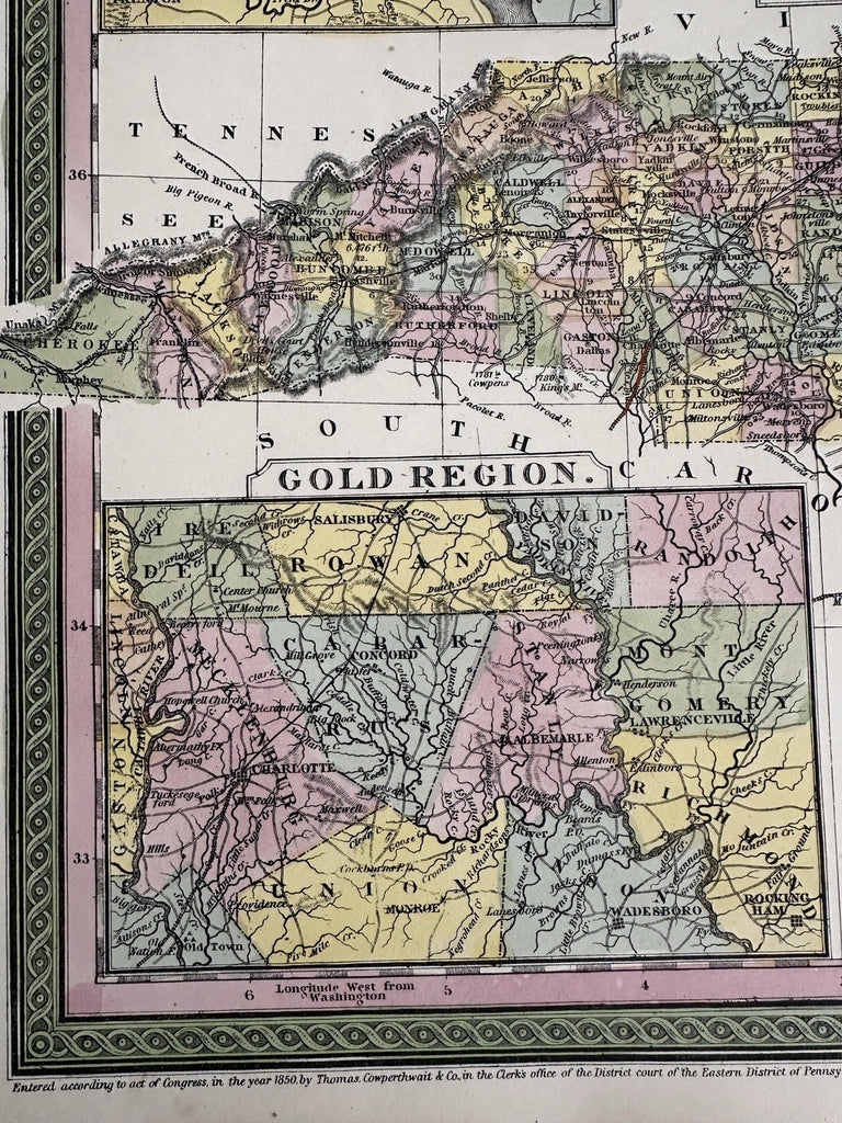
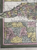
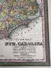
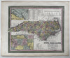
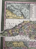
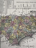
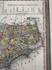

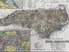
A New Map of North Carolina with its canals, roads & distances from place to place, along the Stage & Steam boat routes.
Published 1850-55, Phila. by Thomas, Cowperthwait & Co. (This variant issue likely being 1854-5 despite the imprint at bottom stating 1850). There are several variants of this map which all display the same 1850 imprint but were released across years within atlases having later title page dates.
Beautiful mid- 19th century (engraved) lithographed map with original hand color.
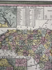
Insets in left corners include a large "Gold Region". Table of Distances top center in three columns. Top right is a profile cross section of the Dismal Swamp Canal. Key left of title notes battle fields with dates attached.
Lovely folio sheet map, perfect for display, gift giving, being part of a collection, etc.
Clean, fresh, near fine condition.
Sheet measures c. 16 7/8” x 13 1/2”.
Printed area c.14" x 11 1/2".
R36417