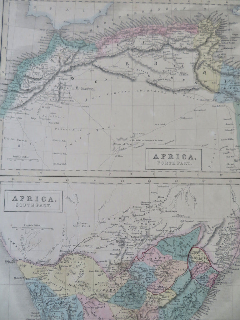
North & South Africa Cape Colony 1854 Hall map
Brian DiMambro


Africa, North Part - Africa, South Part.
(Old Maps, 19th Century Maps, Africa, North Africa, Morocco, Algeria, Tunis, South Africa, Cape Colony).
Issued 1854, Edinburgh by A. & C. Black. Engraved by S. Hall.
Mid 19th century engraved map with original hand color.
Fascinating details within South Africa which are transitional and includes features such as "Various Tribes of Bosjemans" and the Orange River Sovereignty.
Sheet Measures c. 17" H x 12 1/4" W.
Printed Area Measures c. 15" H x 10" W.
Cartographic Reference(s):
Tooley's Dictionary of Mapmakers, vol. 1.
[R32597].
