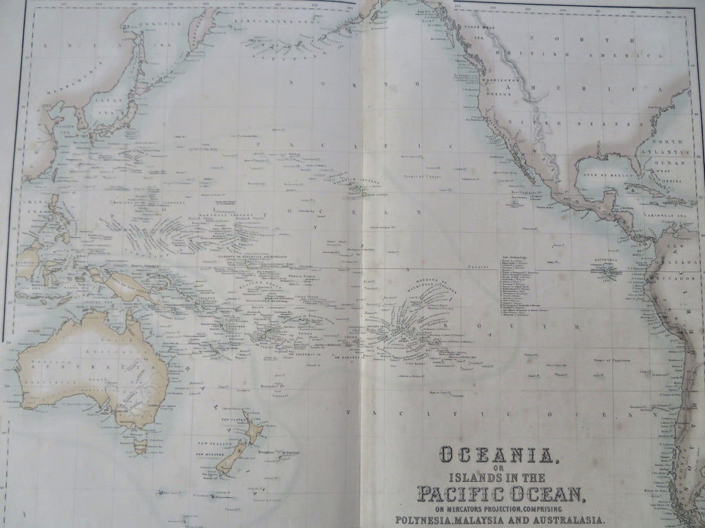
Oceania Australia Hooked Lake Torrens myth c. 1860 Fullarton Johnson map
Brian DiMambro


Oceania, or Islands in the Pacific Ocean, on Mercator's Projection, Comprising Polynesia, Malaysia and Australasia.
(Old Maps, 19th Century Maps, Oceania, Australia, Pacific Islands, Hawaii, Polynesia, Malaysia).
Issued Edinburgh. Engraved by A. Fullarton & Co. Cartography by H. Johnson.
Fine mid-19th century antique color lithographed map. Profusion of tiny islands named, death of Capt. Cook noted at Hawaii. Of note for the erroneous depiction of Lake Torrens in South Australia as having a hook shape.
Well preserved, trivial tiny spotting, overall nice looking example with pleasing age patina.
Sheet Measures c. 18 1/2" H x 23" W.
Engraved Area Measures c. 16 1/8" H x 19 3/4" W.
Cartographic Reference(s):
Tooley's Dictionary of Mapmakers, vol. 2.
[R35684].
