Pennsylvania state canal routes early RR 1850-5 Cowperthwait beautiful old map
Brian DiMambro- Antiquarian Books, Maps & Prints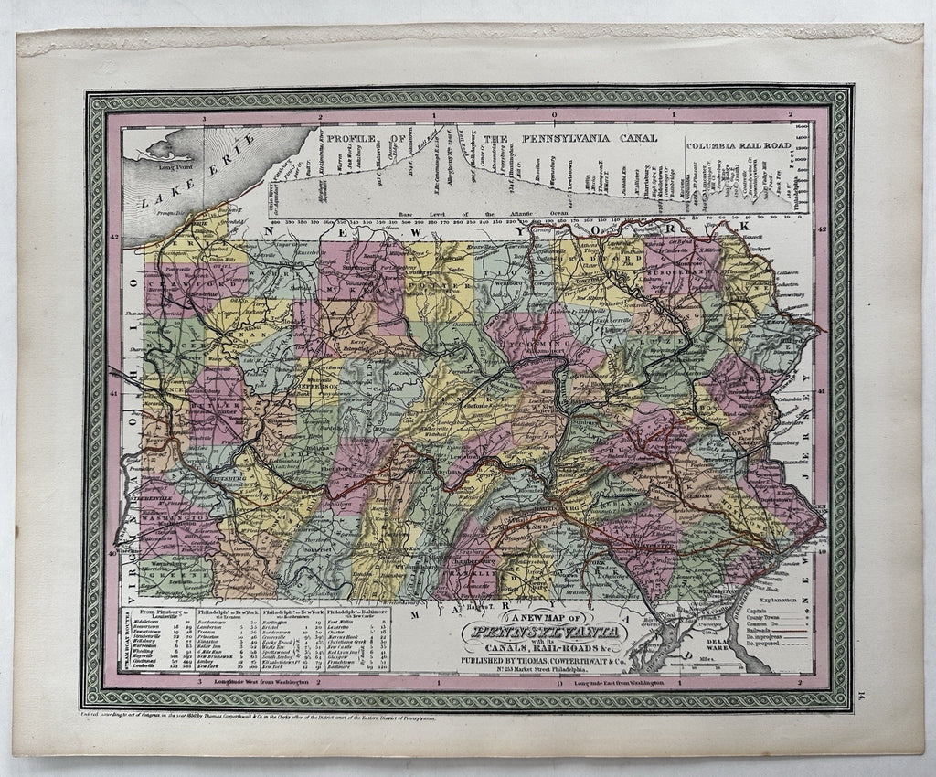


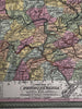

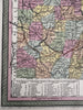
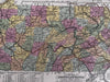
A New map of Pennsylvania.
Published 1850-55, Phila. by Thomas, Cowperthwait & Co.
Beautiful mid- 19th century (engraved) lithographed map with original hand color.
Large cross sectional profile of Pennsylvania Canal and Columbia Rail road across the top. Steam boat route boxes bottom left.
Lovely folio sheet map, perfect for display, gift giving, being part of a collection.
Clean, fresh, near fine condition.
Sheet measures c. 16 7/8” x 13 1/2”.
Printed area c. 14 1/4" x 11 5/8".
R36413