Russia in Europe Ukraine Crimea Poland Finland 1860 Blackie two sheet map
Brian DiMambro- Antiquarian Books, Maps & Prints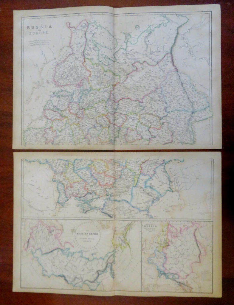
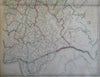
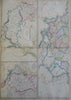
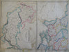
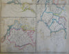
Russia in Europe.
(Old Maps, 19th Century Maps, Europe, Russian Empire, Finland, Poland, Baltic States, Ukraine, Crimea).
Issued 1860, Edinburgh & London by Blackie & Sons.
Mid 19th century lithographed map with original outline hand color.
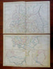
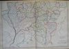
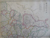
Map consists of two sheets. Please see photos.
Original center folds as issued.
Sheet Measures c. 14 3/4" H x 21 1/4" W.
Printed Area Measures c. 13 3/4" H x 19 1/4" W.
Cartographic Reference(s):
Tooley's Dictionary of Mapmakers, vol. 1.
[R30080].