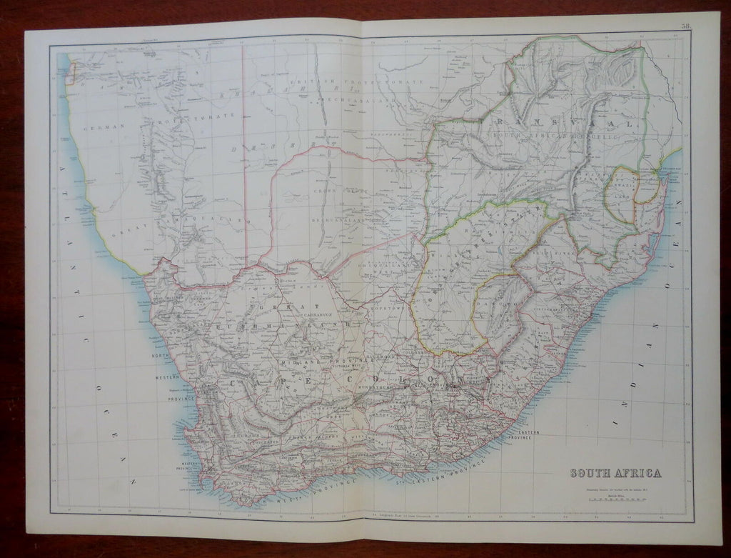
South Africa Cape Colony Orange Free State 1890 scarce folio Scribner-Black map
Brian DiMambro- Antiquarian Books, Maps & Prints


South Africa.
(Old Maps, 19th Century Maps, Africa, South Africa, Cape Colony, Boer Republics, Orange Free State, Transvaal, Natal, Swaziland).
Issued 1890, NY by Scribner & Black.
Scarce oversized folio sheet late 19th century color lithographed map.
A very uncommon map from a monumental atlas which was a collaboration between the long running A & C Black and Scribners of NY. This atlas had many supplemental maps unique to it not found in any other versions which precede it.
Clean example, nice looking.
Original fold line as issued.
Sheet Measures c. 17 3/4" H x 26" W.
Printed Area Measures c. 16" H x 24" W.
Cartographic Reference(s):
Tooley's Dictionary of Mapmakers, vol. 4.
[R29682].
