Texas state variant Hidalgo Co. & proposed RR line1854 JH Young Cowperthwait map
Brian DiMambro- Antiquarian Books, Maps & Prints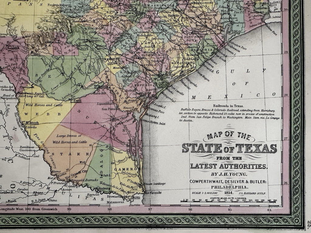

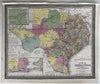
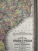


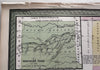

Map of the state of Texas from the latest authorities. By J. H. Young.
Published 1854, Phila. by Thomas, Cowperthwait & Co. (This variant issue being 1854 despite the imprint at bottom stating 1850).
Rare variant issue of the 1854 map, this version now displaying Hidalgo County in Southern Texas along the Mexican border as well as the proposed route of the Atlantic and Pacific Railroad shown cutting across the entire state. This new rail road line does not appear on earlier versions of this map, including an earlier 1854 variant version.
A profusion of interesting details across the map, including topographical forts reports of springs Indians timber, wild horses, & more. A population key lower left above the insect of Galveston city vicinity notes the number of slaves in the state as well as both male and female freed slaves. A seminal and important map of the state.
Beautiful mid- 19th century (engraved) lithographed map with original hand color.
Lovely folio sheet map, perfect for display, gift giving, being part of a collection, etc.
Clean, fresh, near fine condition, top blank margin slightly narrow with original binding stitch holes and slight rumple from the atlas binding process done long ago.
Sheet measures c. 16 7/8” x 13 1/2”.
Printed area c.15 3/4" x 12 7/8".
R36420