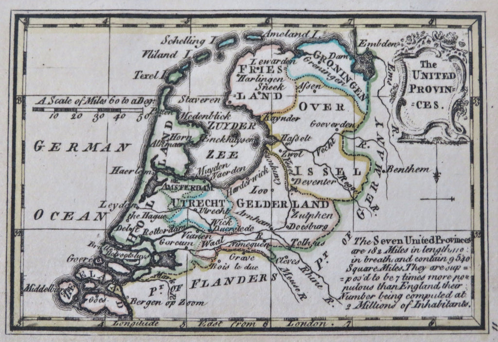
United Provinces Netherlands Holland Utrecht Flanders c. 1780 miniature map
Brian DiMambro


The United Provinces.
(Old Maps, 18th Century Maps, Europe, Holy Roman Empire, Hapsburg Lands, Hungary, Transylvania, Slavonia, Danube River, Budapest).
Issued c. 1780, London.
Late 18th century antique engraved miniature map with original outline hand color.
Well preserved, nice looking example with pleasing age patina.
Sheet Measures c. 3 1/4" H x 4 1/4" W.
Engraved Area Measures c. 2 3/4" H x 3 3/4" W.
[B14367].
