United States Territorial West & Mexico 1870 Stulpnagel Berghaus hand color map
Brian DiMambro- Antiquarian Books, Maps & Prints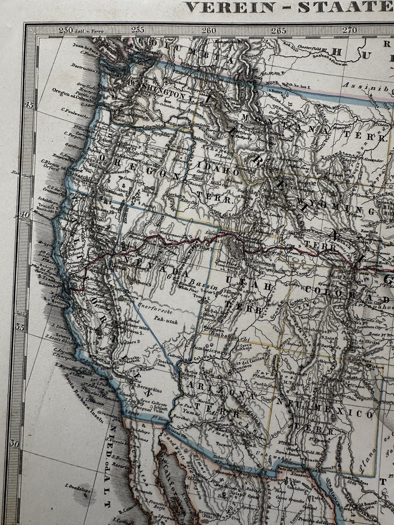
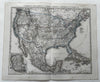

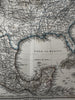
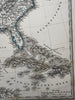
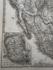
Verein Staaten von Nord-America, Mexico, Yucatan und A.
Cartography by Stulpnagel & Berghaus.
Issued 1870, Gotha by Justus Perthes for Stieler. Engraved by Metzeroth.
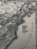
Mid-19th century engraved map with original outline hand color.
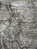
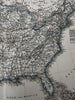
Several western states are noted as Territories including Utah, New Mexico, Arizona, Idaho, Washington, Montana and Dacota. Of the three trans-continental railroad lines built in this era, this map displays only the first Central one (in red). This unique brief historical assortment and configuration of Territories mixed in with states is unique to just a couple years of production, making this a scarce variant issue of others issued shortly prior and after it.
Well preserved, nice looking example with pleasing age patina. Still worthy of display and ownership.
Sheet Measures c.14 5/8” x 18” W.
Engraved Area Measures c.13” x 16".
R36363