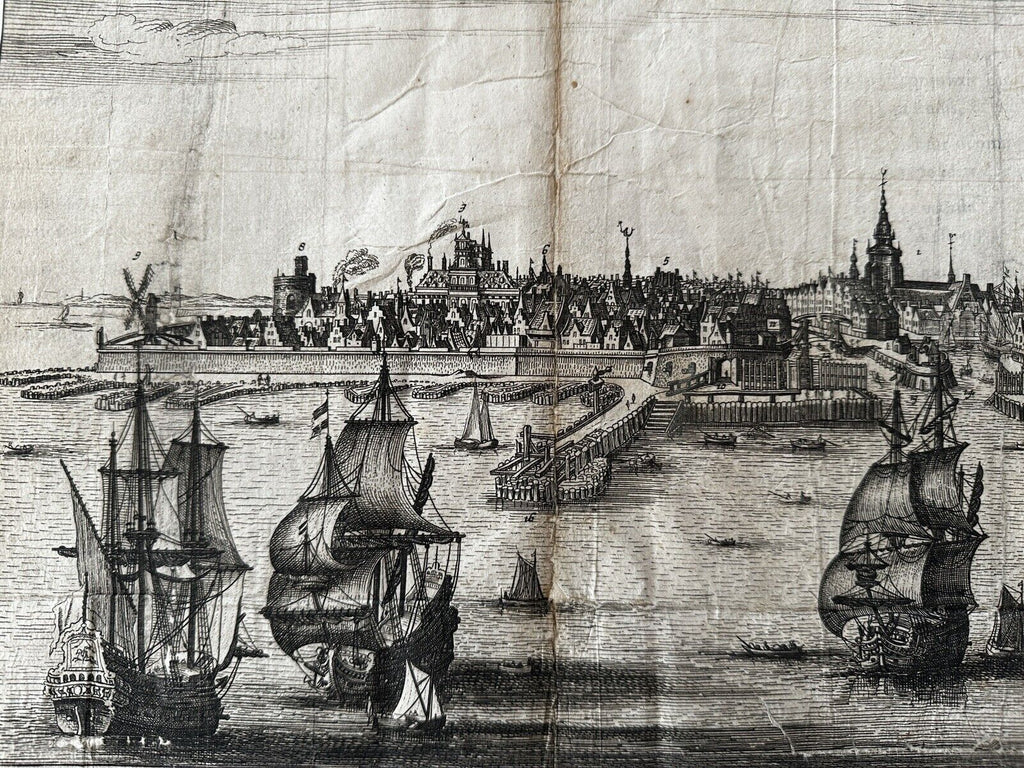
Vlissingen Flissinga Netherlands birds-eye view c. 1640 Guicciardini 2 city maps
Brian DiMambro- Antiquarian Books, Maps & Prints


Original antique map. (Flissinga, Vlissinga, Nederland).
Issued c.1612-48, Amsterdam by Rombout van den Hoeye for A. Montanus.
Very nice oversize early 17th century engraved city view print with a second map affixed on the reverse. A large and detailed antique prospect harbor city view with text in three languages across the bottom. A name key lower right identifies 20 specific buildings.
Wonderful early panoramic prospect harbor view of this city. Numerous galleons and tall mast ships ply the harbor, various towers and spires across the sky line. Descriptive text in three languages (Latin, Dutch, French) below view, key lower right identifies 27 key buildings or urban features within the view.
Decorative coats of arms in top corners either side of fluttering title banner.
Various well done old paper repairs on reverse, large portions of both sides and the center of the sheet were backed long ago with blank hand made paper of this era. Two small minor visual spots of surface loss (now backed with old paper and easy to miss or forgive visually since it is confined to the blank sky or sea area and thus blends in well), blank margins trimmed right to image all around.
Rare early printed city view in any condition, unique example thus.
Affixed to the rear is a second early engraved city plan, this one by Guicciardini.
A fascinating and utterly unique survival as a sheet of printed paper.
Sheet measures c. 15 1/4" x 20".
Printed area measures c. 12 1/2" x 20".
Tooley's Dictionary of Mapmakers, v. 2, p. 347.
R35927
