West Indies Caribbean East West Florida New Spain Cuba 1794 Wilkinson scarce map
Brian DiMambro- Antiquarian Books, Maps & Prints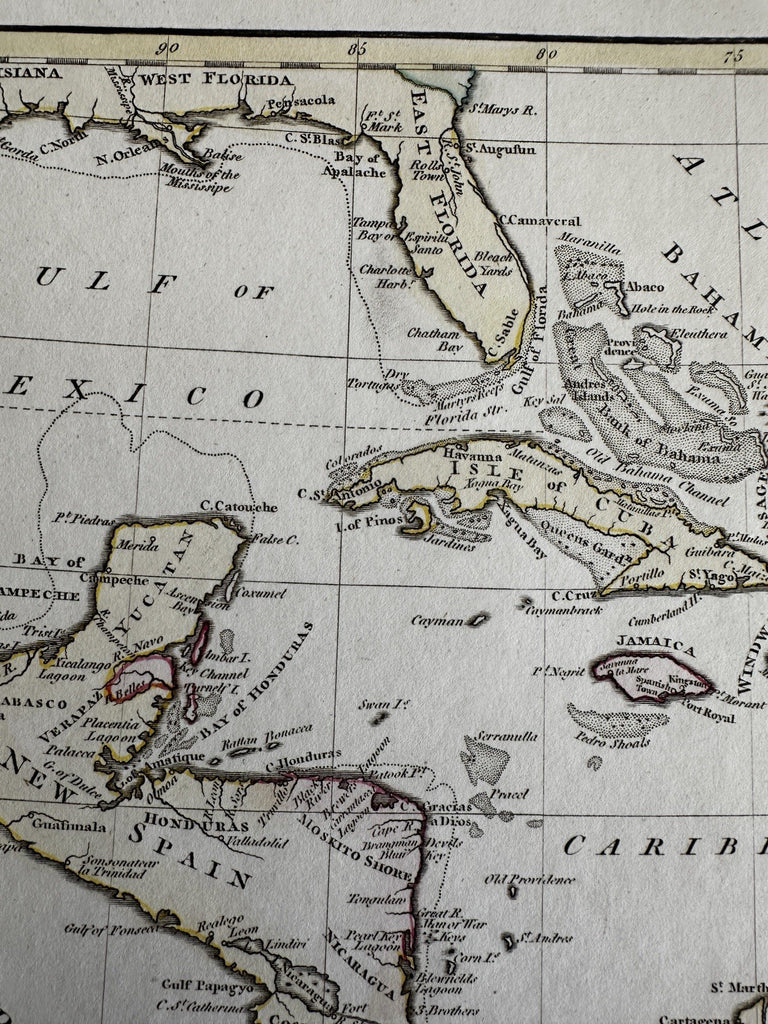
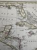
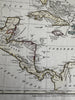
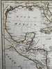
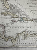
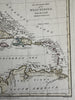
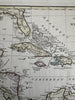
An accurate map of the West Indies from the latest improvements.
Issued London, 1794 by Wilkinson.
Uncommon late-18th century engraved map with original hand color.
A beautiful map. New Spain still for Mexico, Mosquito coast named within Honduras. Florida divided into East and West.
Clean, fine condition.
Sheet measures c. 10 1/2” x 13 1/8”.
Printed area c. 7 1/4" x 9 3/4".
R36274