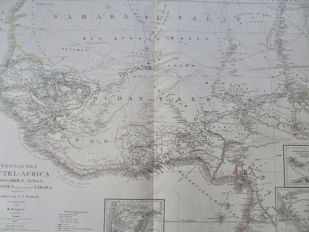
Western Africa Gulf of Guinea Senegal Gambia Dahomey 1853 Detailed German Map
Brian DiMambro


"Westliches Mittel-Africa Senegambien, Sudan, Ober-Guinea und einen Theil der Sahara".
(Old Maps, 19th Century Maps, Africa, West Africa, Guinea, Senegal, Gambia, Ivory Coast, Gold Coast, Dahomey, Benin).
Issued 1853 Weiland, Germanyby Weiland/Weimar Geographischen Instituts.
Uncommon mid-19th century monumental folio sheet map. Beautifully engraved with original outline hand color. With insets of 'Land of Wallo', "Inseln des grunen vorgebirges" and Liberia.
Very precisely engraved, printed on heavy paper, a fine huge antique map which looks much nicer in person than a digital photo indicates. A scarce map, from a rare transitional atlas seldom seen.
In lovely near fine, clean fresh condition.
Sheet measures c. 28" x 23 3/4".
Map area measures c. 25 1/2" x 19 1/2".
Tooleys Dictionary of Mapmakers , vol. 4, p. 367.
[R35686].
