Wisconsin state early RR lines canals 1850-5 Cowperthwait hand colored map
Brian DiMambro- Antiquarian Books, Maps & Prints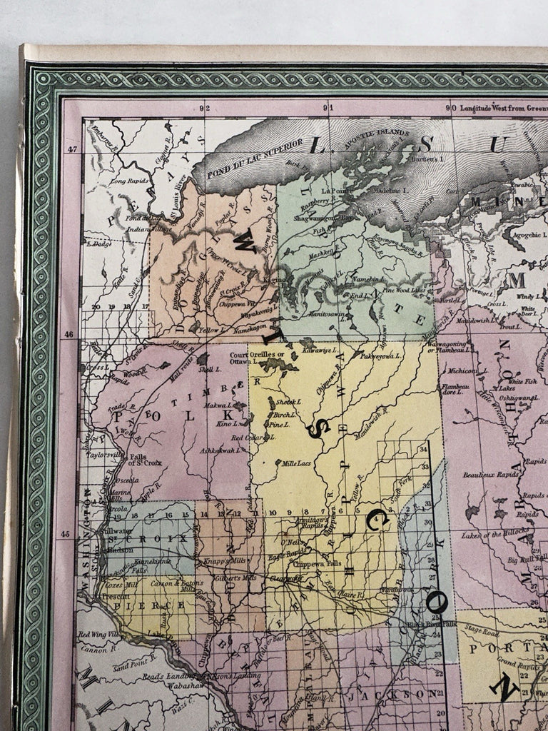
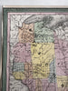
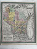
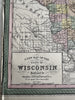
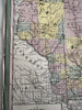
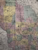
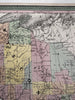
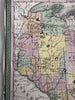
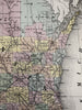
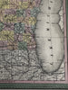
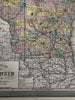
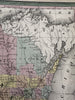
A New Map of the state of Wisconsin.
Published 1850-55, Phila. by Thomas, Cowperthwait & Co. (This variant issue likely being 1854-5 despite the imprint at bottom stating 1850).
Beautiful mid- 19th century (engraved) lithographed map with original hand color.
Lovely folio sheet map, perfect for display, gift giving, being part of a collection, etc.
Clean, fresh, near fine condition, left blank margin edge narrow with rumple due to original atlas binding process done long ago. Small old binding stitch holes along left edge as often seen with this particular map.
Sheet measures c. 16 7/8” x 13 1/2”.
Printed area c.15 7/8" x 13 1/4".
R36425