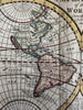
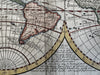
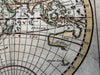
World in spheres California as island & unknown Australia 1744 Senex rare map
Brian DiMambro- Antiquarian Books, Maps & Prints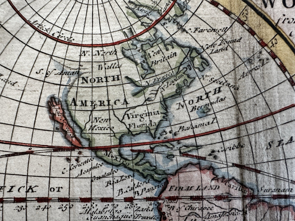
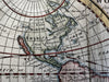
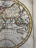
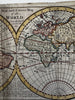
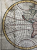
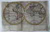
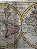
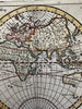
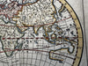
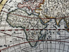
A New and Correct Map of the World from the latest Observations.
Issued London, c. 1744 by John Senex. Imprint in bottom cusp of the spheres, skillfully engraved almost microscopically small.
Original mid-18th century antique small map. Engraved with very nice hand color. Map looks old and slightly age battered, but this patina of time actually enhances the map and gives it an air of historical authenticity difficult to describe or convey with words.
Of note for the remarkable and quite clear depiction of California as an island.
Note Australia (New Holland) shown with an entirely unknown and conjectural undefined southern and eastern coastline. New Zealand is similarly just a couple vague line squiggles, both pre-Cook visitation. Africa interior is entirely conjectural and inaccurate, with mountains in the desert, Nile source lake near South Africa, etc.
Good condition, some well done paper repairs to reverse. Two main fold lines well age creased as seen, small edge chipping along blank margins, paper is lightly aged toned with slight light spotting. several well done on reverse archival tissue paper repairs to fold lines, one small old paper repairs at top left sphere as well. I try to show these in the pics- they’re beautifully done and the map displays a very nice visual appeal.
Light surface toning or spotting, sheet uniformly lightly toned as seen, narrow top left blank margin, map actually looks great and displays very well.
Completely worthy of framing for display as a rare early modern map of the world showing remarkable unknowns and myths which existed on maps a mere 280 years ago.
More than acceptable example of this scarce 18th century world map.
Sheet measures c. 7 3/4" x 12 5/8".
Engraved area c. 6" x 11 3/8".
R36438