World in spheres unknown Australia & west America 1744 Senex engraved color map
Brian DiMambro- Antiquarian Books, Maps & Prints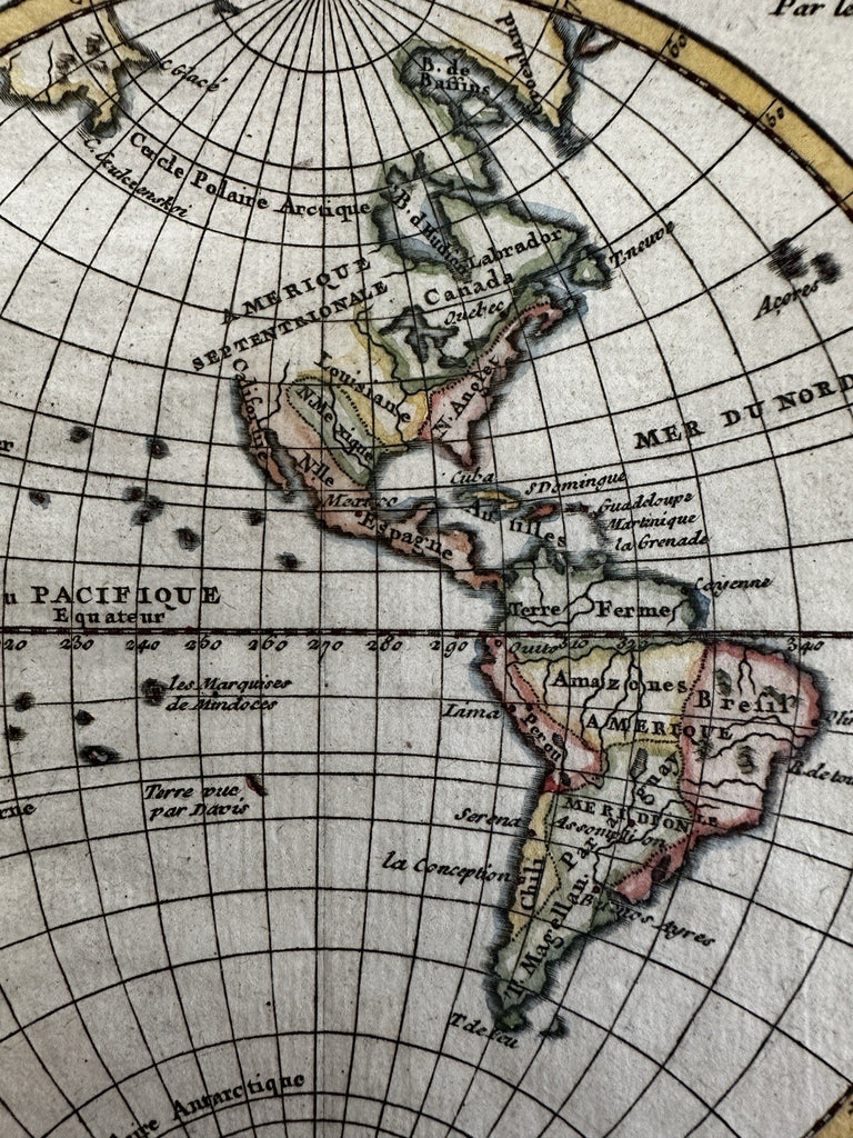
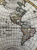
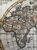
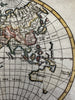
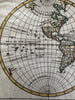
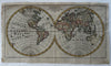
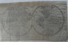
Mappe Monde.
Issued c.1750, Paris by Robt. de Vaugondy.
Original 18th century antique "miniature" (small, not folio) world map. Engraved with very nice hand color.
Note the completely speculative dotted coastline of Australia at lower right (New Holland), linking van Diemen's island with the mainland and New Guinea as well.
North America in the west essentially unknown for accurate mapping at this time so just text inserted with blank empty space above California coast. Huge French Louisiana named, New Spain controls the southwest. The Colonies confined to the Atlantic seaboard and referred to here as New Britain or England.
Good to near VG condition, top blank margin replaced. On reverse is a well done paper repair across the entire top edge to extend a margin that once slightly shaved below the neat line. If map was framed for display you would almost never notice or even be able to see this blank margin reinstatement. Paper is lightly aged toned. I try to show all this in the many pics- overall, the map displays a very nice visual appeal.
Light surface toning or spotting, sheet uniformly lightly toned as seen, narrow top margin with small areas of manuscript reinstatement of the neat line, map actually looks great and displays very well. Completely worthy of framing for display as a rare early map of the world showing remarkable unknowns.
More than acceptable example of this scarce mid-18th century world map.
Sheet measures c.6 5/8" x 11 1/2".
Engraved area c.5 3/4" x 10 7/8".
R36439