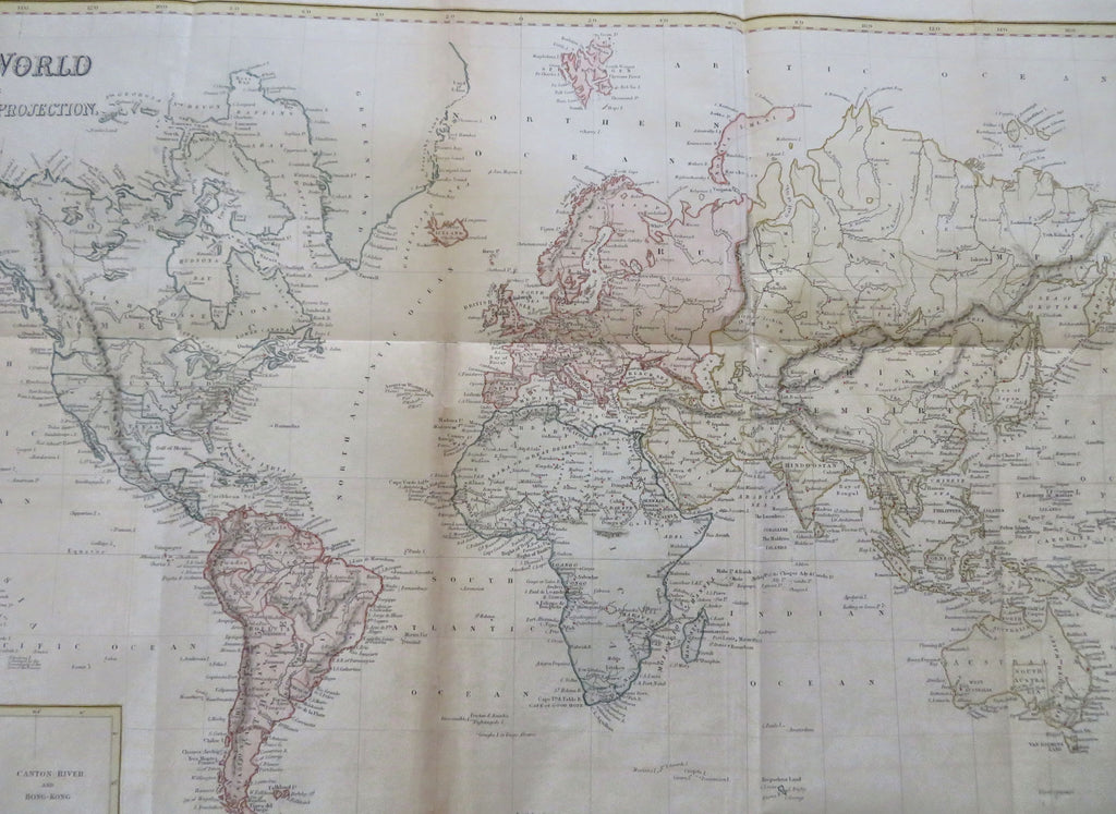
World Map Mercator's Projection Cape Colony Singapore Tasmania 1846 Hall map
Brian DiMambro


The World on Mercator's Projection.
(Old Maps, 19th Century Maps, World Maps, Hong Kong, Canton River, Tasmania, Singapore, Cape Colony).
Issued 1846, London by Longman. Engraved by S. Hall.
Beautiful mid-19th century antique map, with excellent hand color. Printed on thin bond paper. Series of five inset close-ups across the bottom, apocryphal Mts. of the Moon within central Africa.
Light to moderate uniform paper age toning, original fold lines, right side blank margin trimmed close as issued to facilitate folding, several well done and nearly invisible small repairs on reverse to fold line intersections, overall remaining clean - a pleasing and well preserved visual example with nice age patina.
Original fold lines as issued.
Sheet measures c. 21" x 23 1/2".
Printed area measures c. 18 5/8" x 21 1/2".
Tooley's Dictionary of Mapmakers, v. 2.
[R35792].
