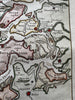
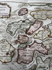
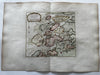
Zealand Holland Netherlands Zeeland 1760s Bellin coastal hand color island map
Brian DiMambro- Antiquarian Books, Maps & Prints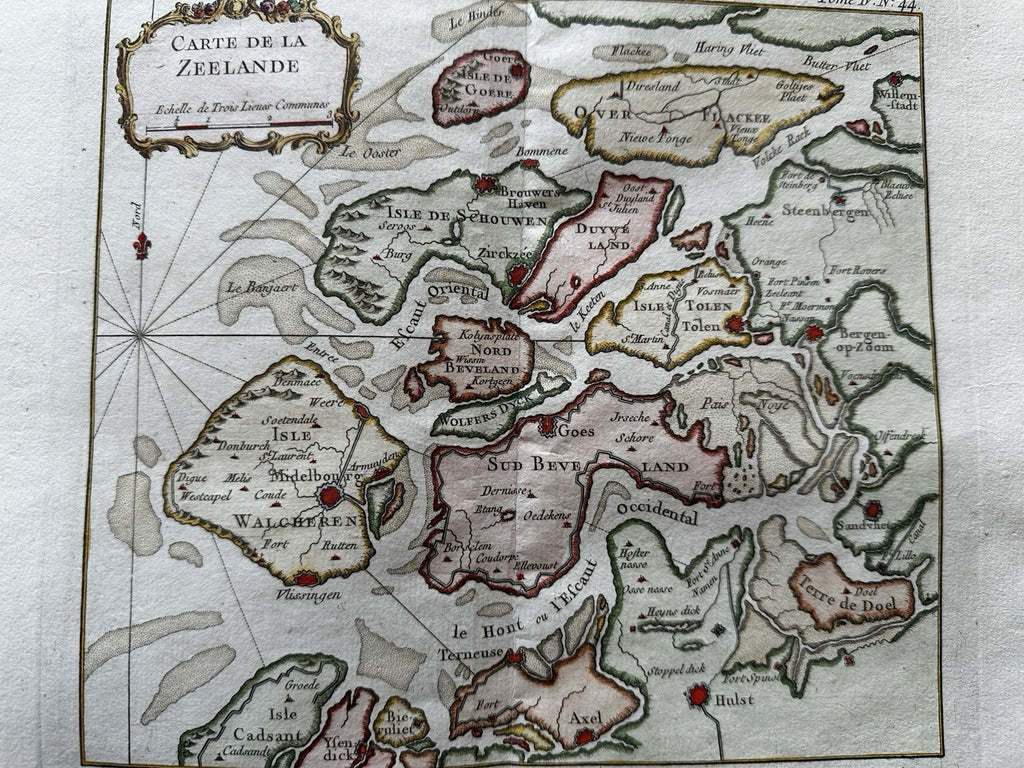
(Old Maps, 18th Century Maps, Europe, nautical maps & charts).
Carte de la Zeeland.- Holland- Nederland- Netherlands.
Issued c. 1760-70 by JN Bellin.
Beautiful mid-18th century engraved coastal map with very attractive hand color.
Remains clean, a superior looking example with a pleasing age patina. Any small minor age flaws easy to overlook or forgive.
Sheet Measures c. 12 3/4” H x 18” W.
Engraved Area Measures c. 8 3/4H x 13 3/4” W.
Original centerfold
[R36086]