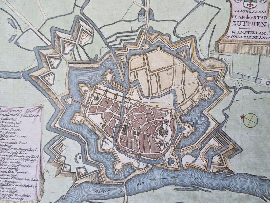
Zutphen Holland Netherlands Nederland c. 1750 de Leth city plan hand colored map
Brian DiMambro


Naauwkeurig Plan der Stad Zutphen.
(Old Maps, 18th Century Maps, Europe, Netherlands, Gelderland, Zutphen, City Plan, Fortifications, Coat of Arms).
Issued c.1740-70, Amsterdam by De Leth.
Attractive mid-18th century engraved map, with lovely hand color.
Title top right sits within a monument topped by crest, key hanging in banner lower left identifies 25 specific features seen. The plan emphasizes the fortified nature of the city.
Nice looking example, pleasing age patina, any minor age flaws easy to overlook or forgive.
Sheet Measures c. 8 1/8" H x 10" W.
Engraved Area Measures c. 6 7/8" H x 8 1/2" W.
Cartographic Reference(s):
Tooley's Dictionary of Mapmakers, vol. 1.
[B12756].
