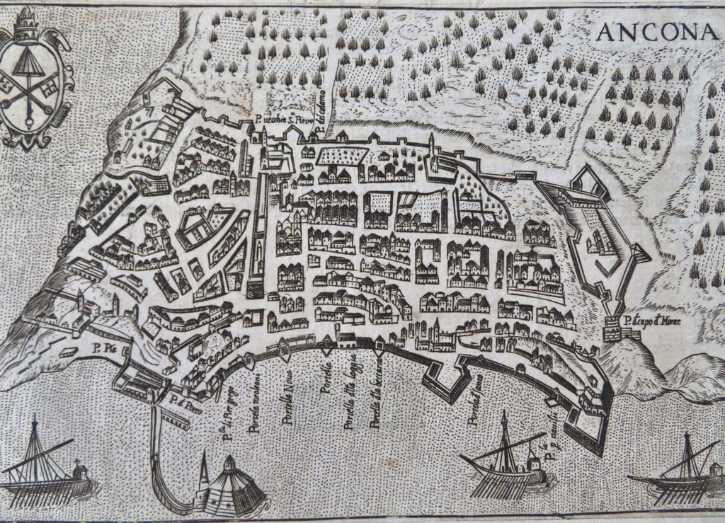
Ancona Italy City Plan Fortifications 1629 Bertelli detailed rare map
Brian DiMambro


Ancona.
(Old Maps, 17th Century Maps, Europe, Italy, Marche, Ancona, City Plan).
Issued 1629, Padova, appresso- Francesco Bertelli, con lic. de' Sup.
Delightful antique engraved Italian city plan. A most charming map, with a splendid near folk-art primitive style. The level of detail is astounding, hundreds of small individual buildings, a clearly recognizable urban plan set within old fortified stone walls, sailing ships in the harbor, a city shield at top left corner.
A very scarce plan, and found here well printed in a rich dark ink impression.
As originally issued long ago, an actual antique/ vintage printed sheet of paper, not a modern copy or reprint. The paper sheet could show various minor signs of age, but if we are offering it for sale, you can be 100% certain it is entirely worthy of ownership by even the most discerning collector or dealer.
A cartographic depiction captured in a manner entirely unique to this historical era.
Sheet measures c. 6 1/8" H x 8 1/4 " W.
Printed area measures c. 4 5/8" H x 6 3/4 " W
[B14380].
Tooleys, Dictionary of Mapmakers, v. 1, p.149- citing only this 1629 printing.
