Arizona New Mexico early routes gold silver 1874 Mitchell hand colored nice map
Brian DiMambro- Antiquarian Books, Maps & Prints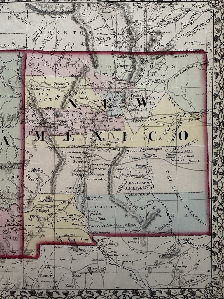
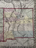
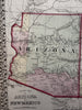
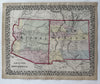
County map of Arizona and New Mexico.
Issued 1874 Philadelphia by S.A. Mitchell.
Excellent mid-19th century lithographed map, with original hand color.
One of many variant issues of this iconic map, each variant reflecting the quickly shifting expansion of counties. Details include locating copper and gold mines, Lt. Col. Cook's wagon route, indian villages and more.
Attractive example, clean, pleasing age patina, any minor age flaws easy to overlook or forgive.
Sheet Measures c. 15 1/4" x 12 1/4”.
Engraved Area Measures c. 14" x 11”.
Cartographic Reference(s):
Reps, American Maps and Mapmakers, p. 313.
Tooley's Dictionary of Mapmakers, vol. 1 & vol. 4, pp. 260.
R36526