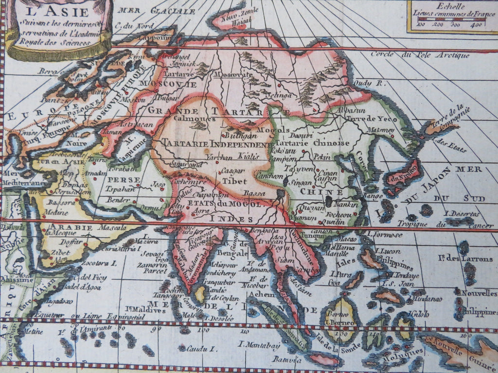
Asia Qing China Mughal India Japan Arabia Ottoman Empire 1774 miniature map
Brian DiMambro


L'Asie.
(Old Maps, 18th Century Maps, Engraved Maps, Asia, Ottoman Empire, Arabia, Iran, Persia, Russia, Qing China, Mughal India, Japan).
Issued 1774, Paris by the French Academy of Royal Sciences.
Small mid-18th century engraved map with attractive hand color.
The apocryphal "Company's Land" is named off the coast of Yedo, title in a hanging banner top left corner. Note the distorted projection effect emanating from the north pole.
Remains a nice looking example with a pleasing age patina. Any age flaws mostly minor and easy to overlook or forgive.
Sheet Measures c. 8" H x 6 1/2" W.
Engraved Area Measures c. 7" H x 5 1/2" W.
Cartographic Reference(s):
Tooley's Dictionary of Mapmakers, vol. 2.
[B13255].
