District of Maine Nova Scotia 1796 Amos Doolittle rare American hand colored map
Brian DiMambro- Antiquarian Books, Maps & Prints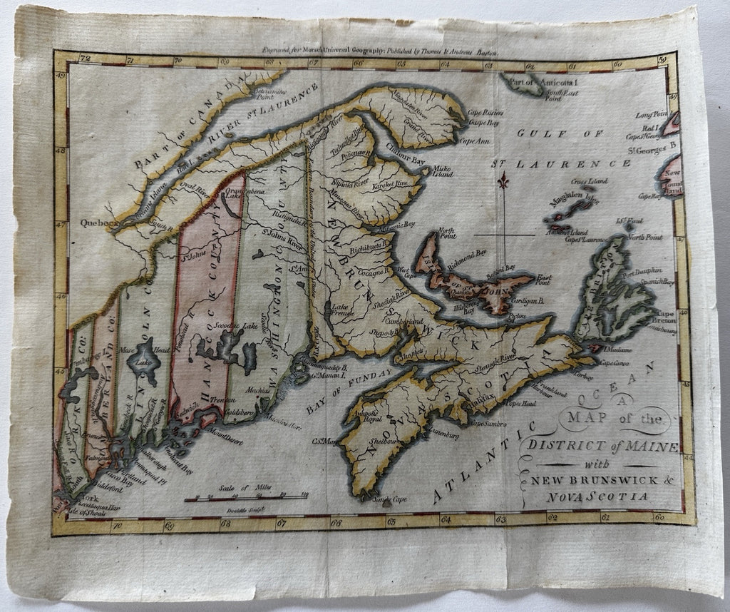
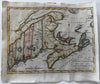
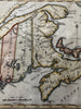
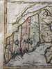
Map of the District of Maine with New Brunswick & Nova Scotia.
Issued 1796, Boston for Morse. Engraved by Amos Doolittle.
Original antique 18th century map, beautiful hand color. Of note for being a very early example of American produced cartography.
Maine is composed of only 5 counties as seen.
Orig. fold lines. Clean nice looking example, one fold line expertly backed with thin tissue to reinforce.
Sheet measures c. 8 3/8" x 10" W.
Wheat & Brun, Maps Published in America Before 1800, 175.
B15075