Gloucester Harbor coastal Massachusetts c. 1910-15 nautical navigation hc map
Brian DiMambro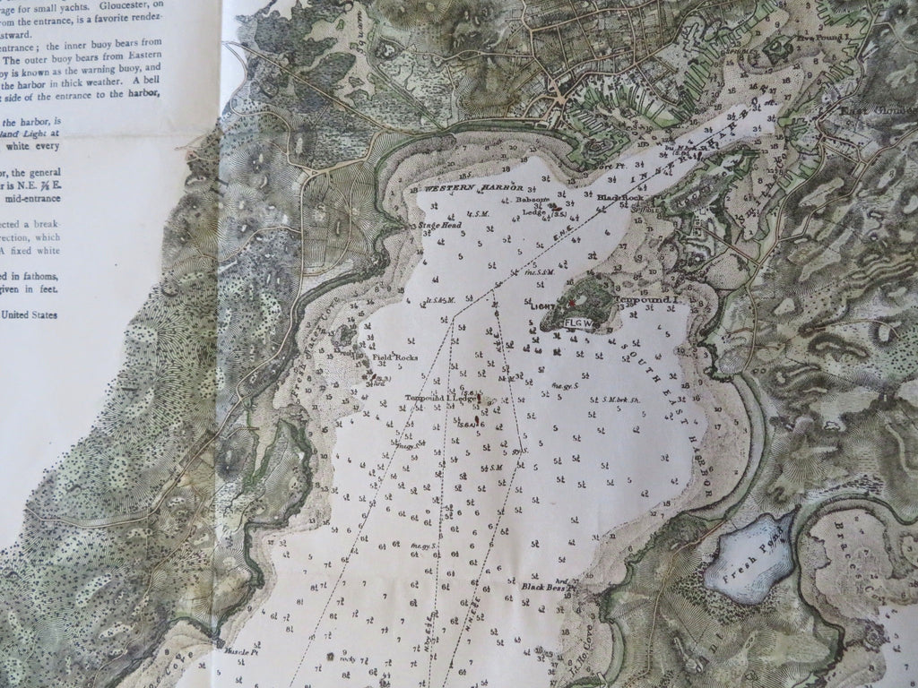
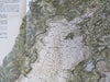
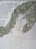
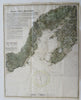
Gloucester Harbor, Massachusetts.
(Old Maps, 19th Century Maps, Americana, United States, New England, Massachusetts, Gloucester Harbor, Gloucester, Coastal Survey, Nautical Map).
Issued c. 1910-15 United States.
Early 20th century lithographed coastal survey map with lovely hand color.
Exceptional level of detail, includes roads, topographical features and terrain, sounding depths, etc.
Original fold lines as issued. Top edge backed with old paper to extend blank margin and facilitate framing, couple minor short closed edge splits, overall lovely visual appearance.
Sheet Measures c. 18" H x 14" W.
Printed Area Measures c. 17" H x 13 1/2" W.
[B12388].