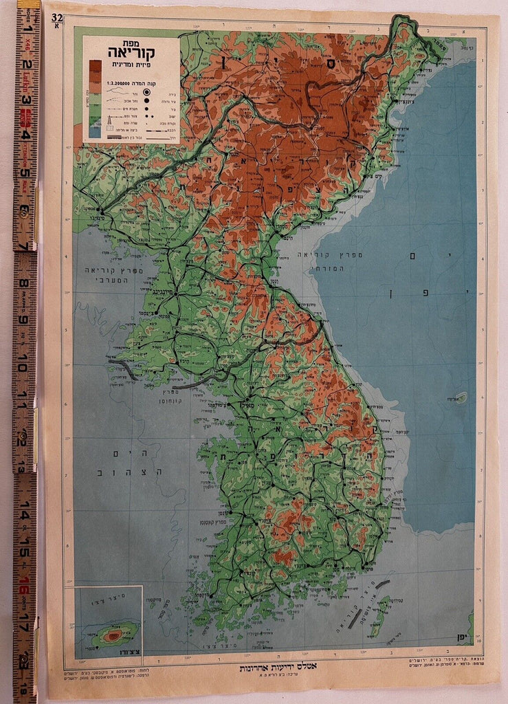
Korean peninsula North & South divided showing oil fields c.1955 Hebrew rare map
Brian DiMambro- Antiquarian Books, Maps & Prints


Korean peninsula showing the divided line between North and South.
Key at top left notes oil fields which are shown on the map by tiny pictograms.
Uncommon/ scarce mid-20th century Hebrew map.
Published Jerusalem, mid-1950’s, by Kiryat Seragi Ba’im.
Folio sheet atlas map, unfolded as originally issued by Yedioth Ahronoth, measuring c. 19 1/4” x 13”.
Color lithographed / photo-offset plates.
VG condition, light signs of handling and time, minor edge imperfections, small scattered age spots or light discolorations all of which should be captured quite well by the pictures provided.
Please inspect pictures, they represent this map better than a verbal description.
R35932
