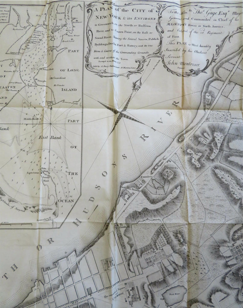
New York City Lower Manhattan Greenwich 1855 Montresor Dury fine historical map
Brian DiMambro


A Plan of the City of New York and Its Environs to Greenwich on the North or Hudson River and to Crown Point, on the East or Sound River. Shewing the Several Streets, Publick Buildings, Docks, Fort & Battery, with the True Form & Course of the Commanding Ground With and Without the Town.
(Old Maps, 19th Century Maps, Historical Maps, Americana, United States, New York, Manhattan, New York City, City Plan).
Issued 1855, New York by Hayward. Map originally published c. 1775. Map by Montresor, sold by Dury. Printed on sturdy bond paper.
Mid 19th century lithographed historical city plan re-issuing a rare 18th century map. Individual property owners identified.
Original fold lines as issued, left side blank margin trimmed narrow with inset tab as issued.
Sheet Measures c. 25" H x 19 1/2" W.
Cartographic Reference(s):
Tooley's Dictionary of Mapmakers, vol. 2.
[B9771].
