Pyrenees France Automobilistes Bicyclists route map c. 1913 large Taride map
Brian DiMambro- Antiquarian Books, Maps & Prints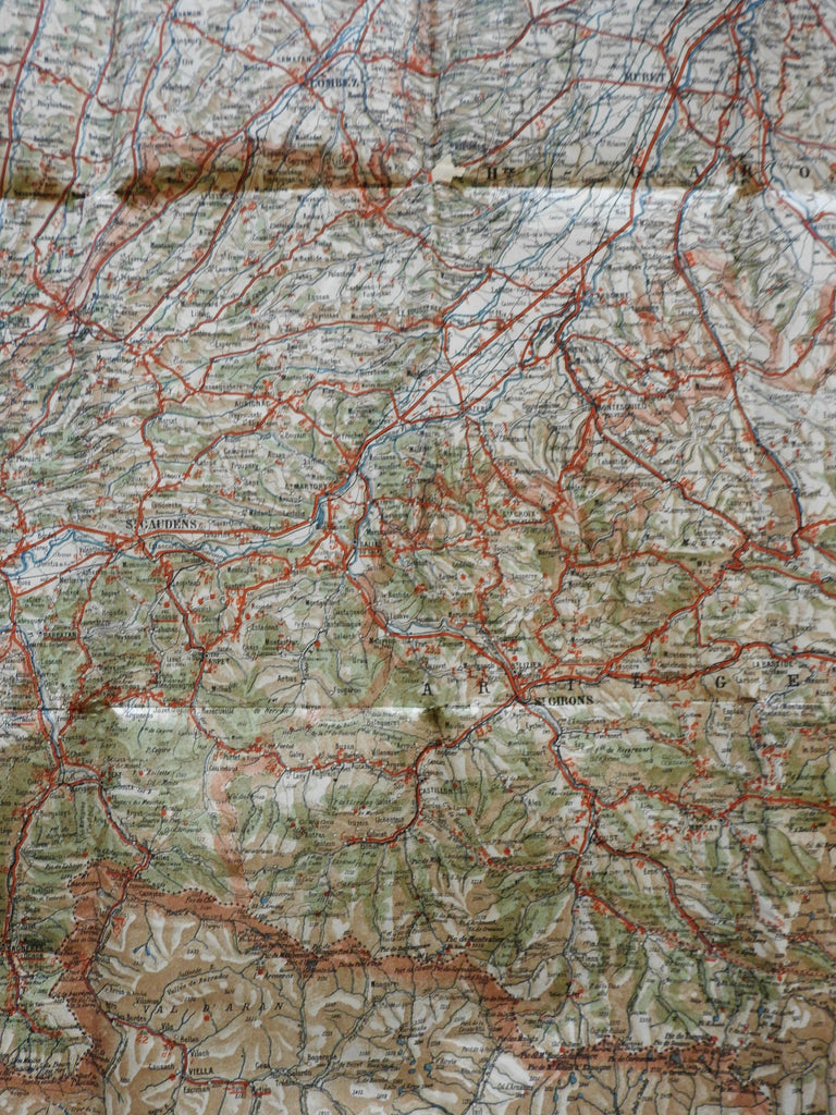
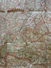
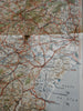
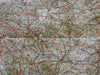
Carte Routiere pour Automobilistes & Cyclistes - Pyrenees Section Est.
(Perpignan, Ceret, Golfe du Lion, Narbonne, Beziers).
Issued c. 1913, Paris by A. Taride. Drawn by P. Bineteau. Printed on zinc by Monroco, Paris.
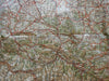
Fine very large vintage color lithographed bicycle and automobile map (over 3 feet wide).
Overprinted by publisher across the bottom to advertise other maps for sale. Picturesque routes are identified as well as tramways. Toulouse is top left, Perpignan near the coast bottom right, Spain across the bottom.
With original fold lines as issued.
Well preserved, nice looking example with pleasing age patina, some clean short separations at a couple intersections and along the edge, overall remains fresh.
Sheet Measures c. 28"H x 38 1/2"W.
Cartographic Reference(s):
Tooley's Dictionary of Mapmakers.#.
[B3127].