Scandinavia Sweden Denmark Norway Finland c. 1755 decorative Jefferys map
Brian DiMambro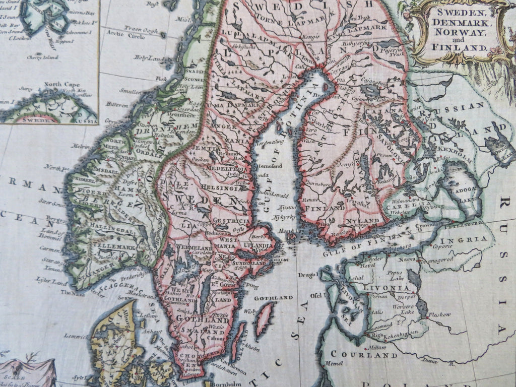
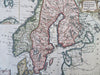
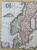
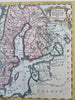
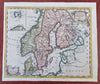
Sweden, Denmark, Norway, and Finland.
(Old Maps, 18th Century Maps, Europe, Scandinavia, Norway, Sweden, Denmark, Finland, Baltic Sea).
Issued c. 1755, London. Engraved by T. Jefferys.
Decorative mid-18th century engraved map with lovely hand color.
Bottom blank margin replaced/ extended with matching old paper to facilitate framing (neat line is manuscript reinstated at lower right corner area).
Nice looking example, pleasing age patina, any minor age flaws easy to overlook or forgive.
Original fold lines as issued.
Sheet Measures c. 7 3/4" H x 9 1/8" W.
Engraved Area Measures c. 7" H x 7 3/4" W.
Cartographic Reference(s):
Tooley's Dictionary of Mapmakers, vol. 2.
[B12350].