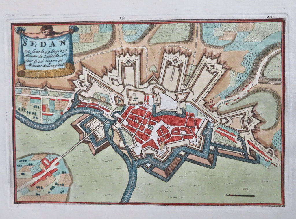
Sedan France Ardennes Fortifications c. 1710 de la Feuille scarce city plan map
Brian DiMambro


Sedan est sous le 49 degre...
(Old Maps, 18th Century Maps, Europe, France, Sedan, Ardennes Forest, Fortifications).
Issued c. 1710, Amsterdam by D. de la Feuille.
Fine and very uncommon early 18th century engraved map with lovely hand color. Nice fortified plan with title banner top left held by mythological figure.
Sheet measures c. 7 1/4" H x 11" W.
Printed area measures c. 4 1/2" H x 6 1/2" W.
Tooleys Dictionary of Mapmakers , v. 3, p. 70.
[B14698].
