Seven United Provinces Low Countries Netherlands Holland Friesland c. 1790 map
Brian DiMambro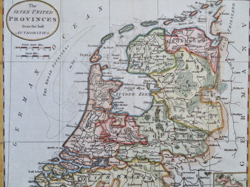
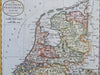
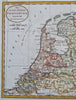
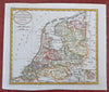
The Seven United Provinces from the Best Authorities.
(Old Maps, 18th Century Maps, Europe, Low Countries, Netherland, United Provinces, Holland, Zealand, Brabant, Overijssel, Friesland, Gelders, Utrecht, Groningen).
Issued c. 1790, London.
Late 18th century engraved map with lovely hand color.
Nice looking example, pleasing age patina, any minor age flaws easy to overlook or forgive.
Original center fold as issued.
Sheet Measures c. 8 1/2" H x 10" W.
Engraved Area Measures c. 7 1/2" H x 8 3/4" W.
[B12305].